UN/LOCODE hub · South Africa
ZANAB
Mookgophong
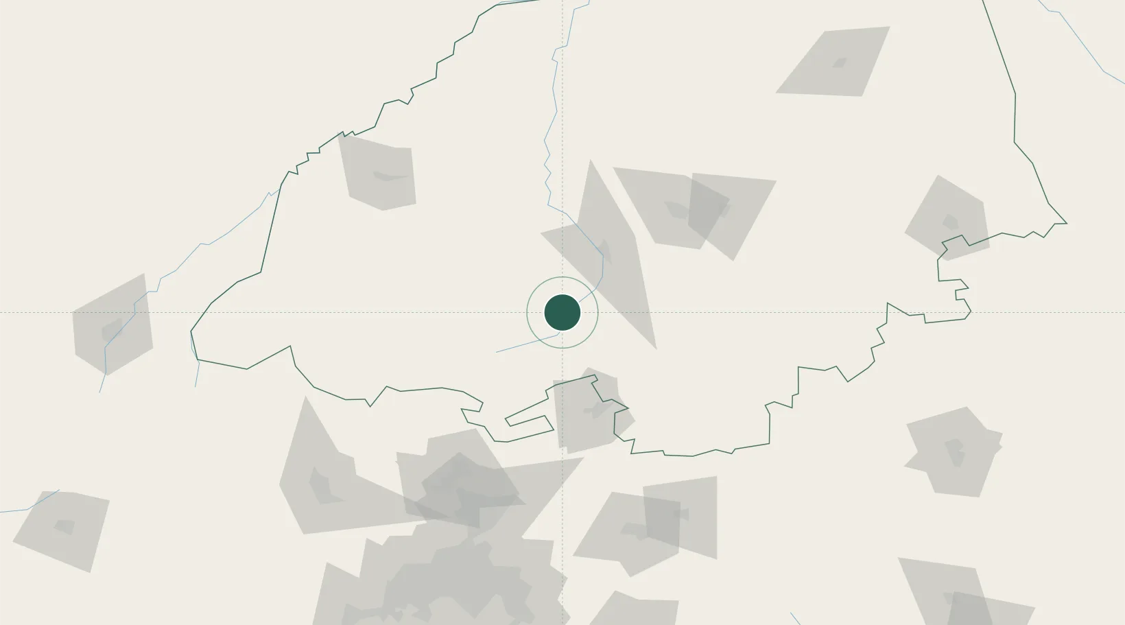
-24.5167°, 28.7167°
29,778
Population
1
Transport functions
Transport Functions
Multimodal
Hub Profile
Place type
Populated place
Region
Limpopo
Population
29,778
Time zone
Africa/Johannesburg
Elevation
1,108 m
Location
Nearby Logistics Neighbours
Cities
- 1Naboomspruit0 km
- 2Nylstroom37 km
- 3Potgietersrus49 km
- 4Sunningdale61 km
- 5Marble Hall76 km
Ports
- 1Maputo417 km
- 2Richards Bay584 km
- 3Durban639 km
- 4Inhambane681 km
- 5Beira817 km
Airports
- 1Pietersburg Municipal Airport102 km
- 2Polokwane International Airport106 km
- 3Wonderboom Airport136 km
- 4Swartkop Air Force Base154 km
- 5Waterkloof Air Force Base154 km
Trade Zones
DatabookThe Record of Consolidated Knowledge
South Africa beyond logistics?