Transport Functions
Rail
Road
Hub Profile
Place type
Populated place
Region
New Mexico
Population
241
Time zone
America/Denver
Elevation
1,859 m
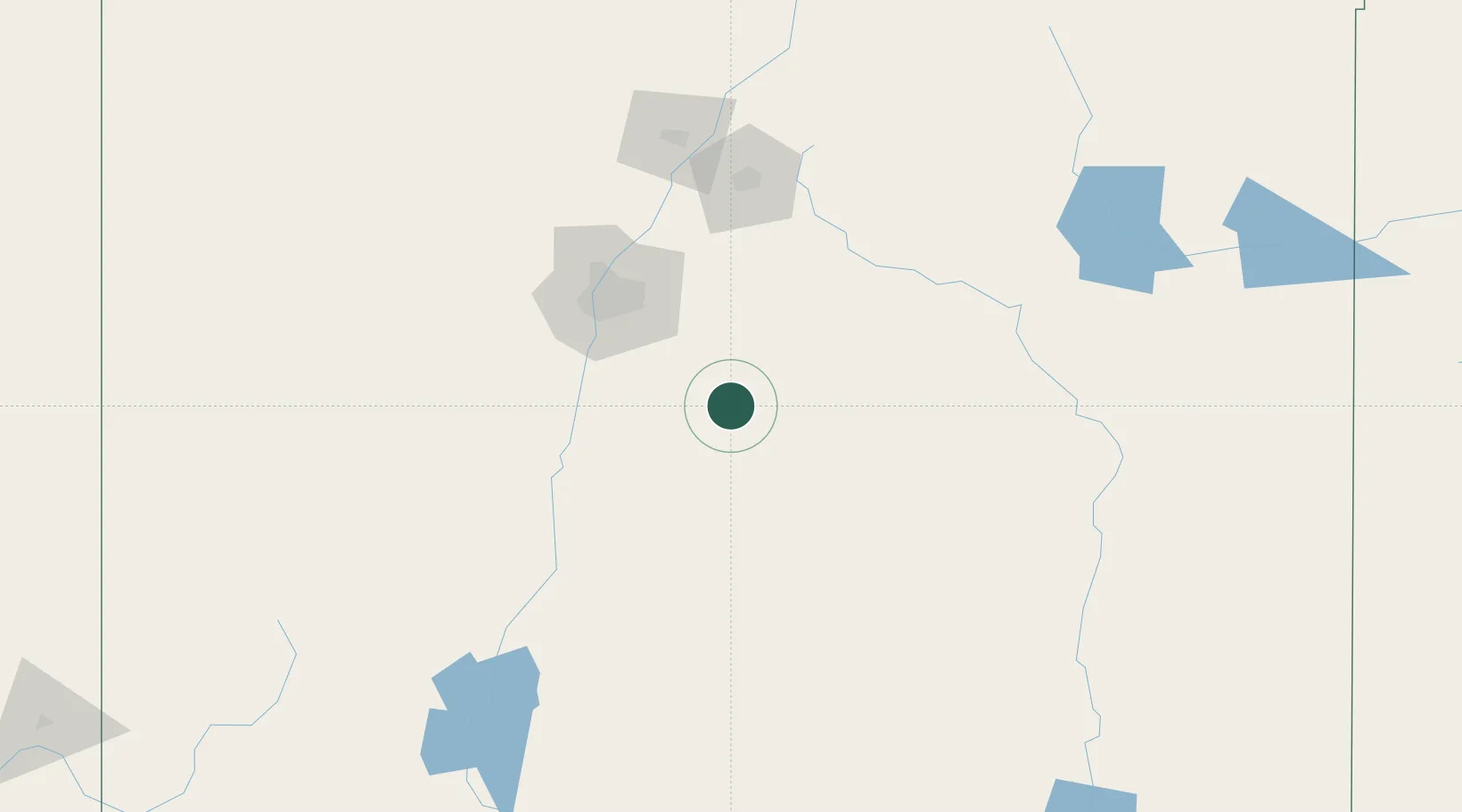
Location
Nearby Logistics Neighbours
Cities
- 1Culebra26 km
- 2Moriarty43 km
- 3Edgewood52 km
- 4Los Lunas66 km
- 5Bosque Farms67 km
Ports
- 1Guaymas876 km
- 2Santa Rosalia1004 km
- 3Isla San Marcos1007 km
- 4Ensenada1031 km
- 5Topolobampo1042 km
Airports
Trade Zones
- 1FTZ No. 110 Albuquerque89 km
- 2FTZ No. 197 Dona Ana County273 km
- 3FTZ No. 068 El Paso311 km
- 4FTZ No. 150 El Paso311 km
- 5FTZ No. 260 Lubbock385 km
DatabookThe Record of Consolidated Knowledge
United States beyond logistics?