Transport Functions
Rail
Road
Hub Profile
Place type
Populated place
Region
New Mexico
Time zone
America/Denver
Elevation
1,909 m
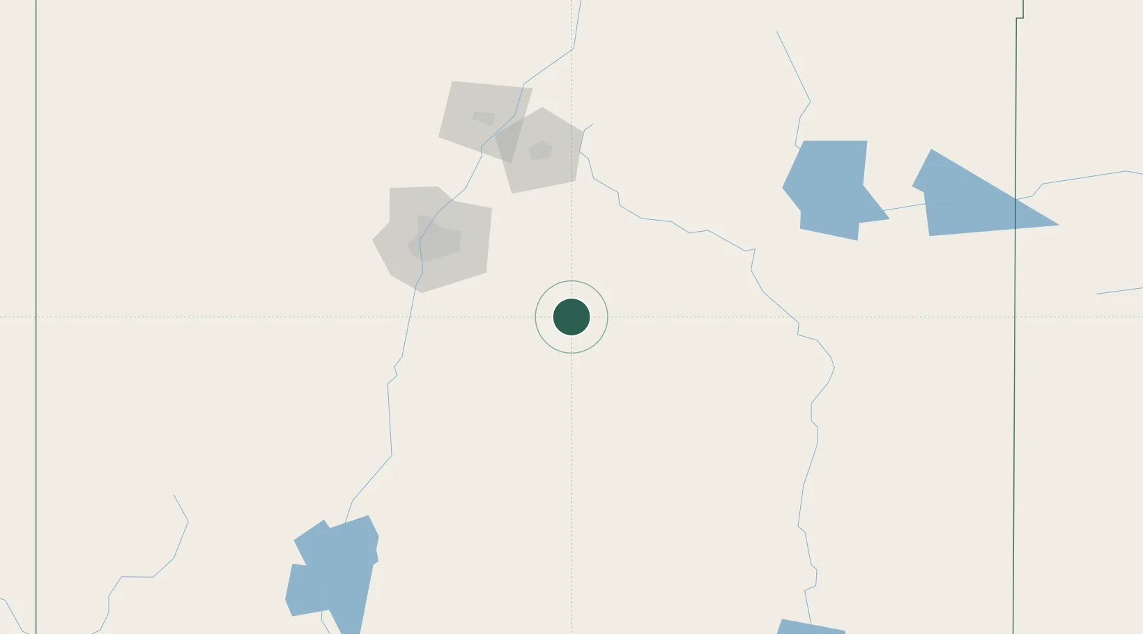
Location
Nearby Logistics Neighbours
Cities
- 1Willard26 km
- 2Moriarty43 km
- 3Vaughn51 km
- 4Edgewood57 km
- 5Bosque Farms88 km
Ports
- 1Guaymas896 km
- 2Santa Rosalia1025 km
- 3Isla San Marcos1028 km
- 4Topolobampo1057 km
- 5Port Lavaca1096 km
Airports
Trade Zones
- 1FTZ No. 110 Albuquerque106 km
- 2FTZ No. 197 Dona Ana County292 km
- 3FTZ No. 068 El Paso322 km
- 4FTZ No. 150 El Paso322 km
- 5FTZ No. 252 Amarillo360 km
DatabookThe Record of Consolidated Knowledge
United States beyond logistics?