Medium airport · United States

Sierra Blanca Regional AirportKSRR

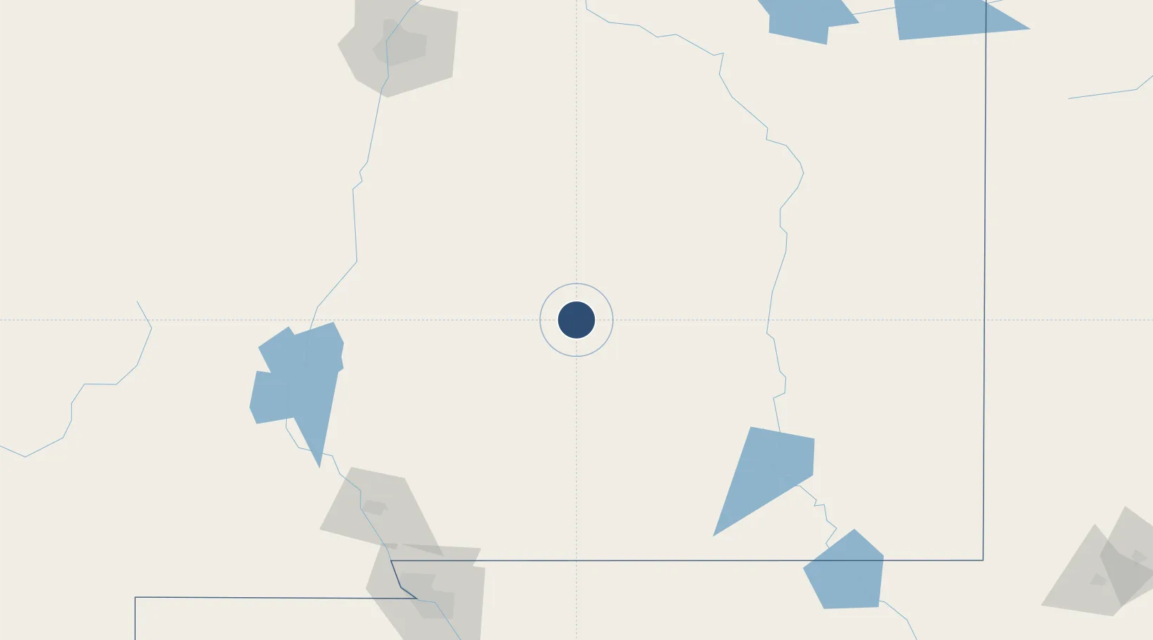
33.4628°, -105.5350°
8,120 ft
Longest runway
2
Runways
6,814 ft
Elevation

Runway & Layout

Sierra Blanca Regional Airport runway & taxiway layout
Runway & taxiway layout — OpenStreetMap (ODbL) / OurAirports

Radio Frequencies

AWOS
126.475 MHz
AWOS 3
CNTR
132.65 MHz
ALBUQUERQUE CNTR
FSS
122.25 MHz
ALBUQUERQUE RDO
UNIC
122.8 MHz
CTAF/UNICOM
OurAirports

Navaids

CEP NDB Capitan 278 kHz
OurAirports

Runways · 2

RunwayDimensions SurfaceTrue headingLit
06/24 8,120 × 100ft Asphalt 071°
12/30 6,309 × 75ft Asphalt 130°
OurAirports

Airport Specifications

IATA code
RUI
OurAirports
ICAO code
KSRR
OurAirports
Airport class
Medium airport
OurAirports
Scheduled service
No
OurAirports
Runway surface
Asphalt
OurAirports
Served city
Alto
OurAirports

Location

Location of KSRR
Natural Earth 10m (public domain) · New Mexico · KSRR · 33.46, -105.54GoogleOSMYandex

Nearby Logistics Neighbours

Airports
  1. 1Alamogordo White Sands Regional Airport82 km
  2. 2Holloman Air Force Base86 km
  3. 3Roswell Air Center Airport95 km
  4. 4Truth or Consequences Municipal Airport163 km
  5. 5Cavern City Air Terminal173 km
Nearest neighbours — logibook spatial index (haversine) over the source coordinates
Cities
  1. 1Holloman Air Force Base86 km
  2. 2Dexter113 km
  3. 3Buchanan127 km
  4. 4Vaughn130 km
  5. 5Willard135 km
Nearest neighbours — logibook spatial index (haversine) over the source coordinates
Ports
  1. 1Guaymas803 km
  2. 2Topolobampo939 km
  3. 3Santa Rosalia939 km
  4. 4Isla San Marcos940 km
  5. 5Corpus Christi999 km
Nearest neighbours — logibook spatial index (haversine) over the source coordinates
Trade Zones
  1. 1FTZ No. 068 El Paso199 km
  2. 2FTZ No. 150 El Paso199 km
  3. 3FTZ No. 197 Dona Ana County208 km
  4. 4FTZ No. 110 Albuquerque215 km
  5. 5FTZ No. 260 Lubbock325 km
Nearest neighbours — logibook spatial index (haversine) over the source coordinates
DatabookThe Record of Consolidated Knowledge
United States beyond logistics?
Browse databook

All Sources

AirportsOurAirports
Public domain
Portsthe NGA World Port Index
Public domain (US gov)
LocationsUN/LOCODE
UN/LOCODE — free
Trade Zonesthe World Bank SEZ database
CC BY 4.0
Trade ZonesOpen Zone Map
CC BY
InfrastructureOpenStreetMap
ODbL 1.0
← United States airports