UN/LOCODE hub · United States
USZUC
Union Center
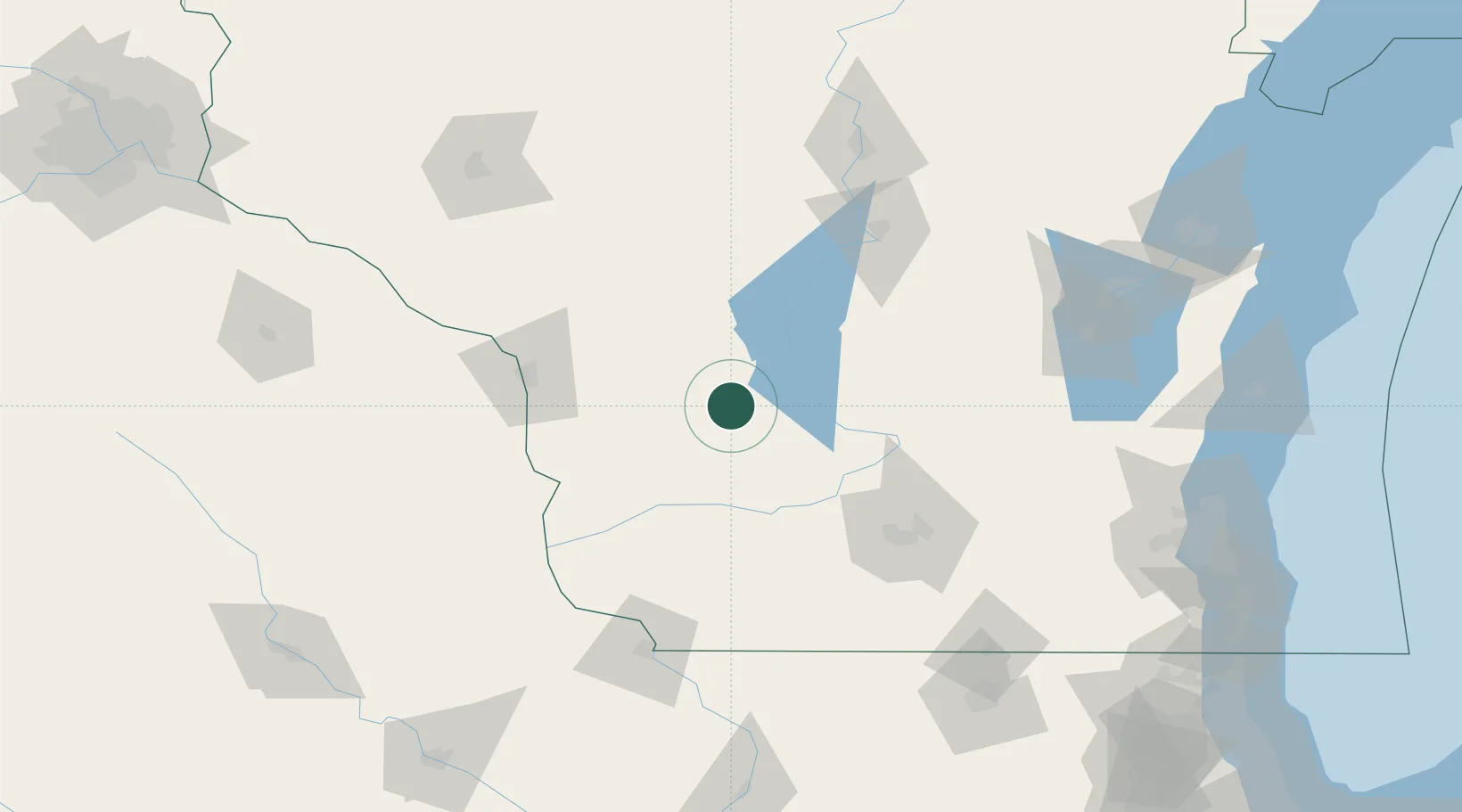
43.6833°, -90.2667°
195
Population
3
Transport functions
Transport Functions
Port
Rail
Road
Hub Profile
Place type
Populated place
Region
Wisconsin
Population
195
Time zone
America/Chicago
Elevation
282 m
Location
Nearby Logistics Neighbours
Cities
- 1Wonewoc6 km
- 2Elroy6 km
- 3Hillsboro7 km
- 4New Lisbon22 km
- 5Reedsburg29 km
Ports
- 1Kaukauna173 km
- 2Port Washington196 km
- 3Green Bay202 km
- 4Milwaukee206 km
- 5Sheboygan206 km
Airports
- 1Volk Field28 km
- 2La Crosse Regional Airport82 km
- 3Dane County Regional Truax Field96 km
- 4Central Wisconsin Airport131 km
- 5Wittman Regional Airport141 km
Trade Zones
- 1FTZ No. 266 Dane County82 km
- 2FTZ No. 271 Jo-Daviess and Carroll Counties152 km
- 3FTZ No. 167 Brown County180 km
- 4FTZ No. 176 Rockford181 km
- 5FTZ No. 041 Milwaukee188 km
DatabookThe Record of Consolidated Knowledge
United States beyond logistics?