UN/LOCODE hub · United States
USRDS
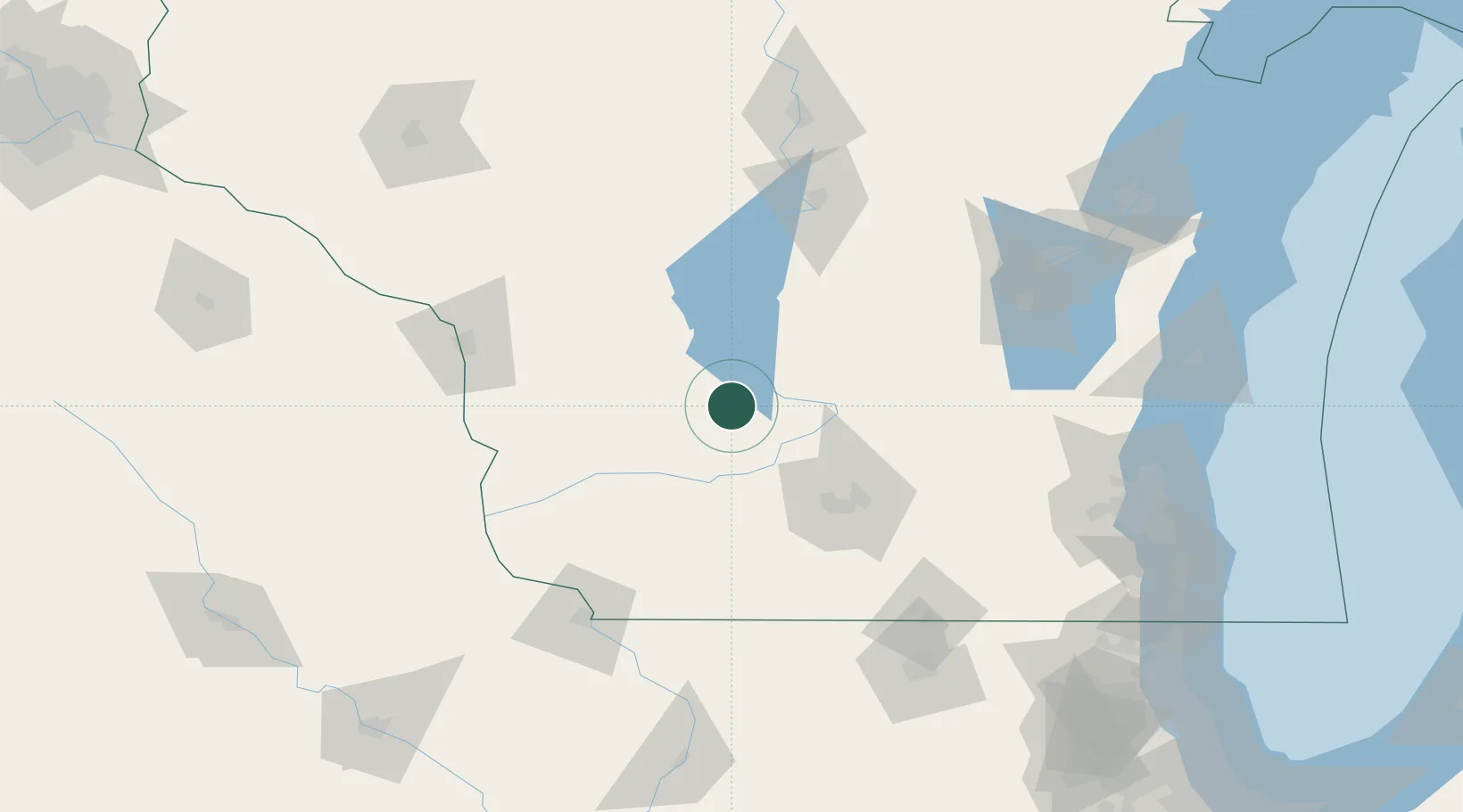
Reedsburg
43.5333°, -89.9667°
9,548
Population
3
Transport functions
Transport Functions
Rail
Road
Multimodal
Hub Profile
Place type
Populated place
Region
Wisconsin
Population
9,548
Time zone
America/Chicago
Elevation
275 m
Location
Nearby Logistics Neighbours
Cities
- 1Rock Springs7 km
- 2North Freedom12 km
- 3Wisconsin Dells19 km
- 4Lyndon Station20 km
- 5Wonewoc24 km
Ports
- 1Kaukauna160 km
- 2Port Washington170 km
- 3Milwaukee178 km
- 4Sheboygan184 km
- 5Green Bay190 km
Airports
- 1Volk Field51 km
- 2Dane County Regional Truax Field67 km
- 3La Crosse Regional Airport111 km
- 4Wittman Regional Airport124 km
- 5Dubuque Regional Airport140 km
Trade Zones
- 1FTZ No. 266 Dane County56 km
- 2FTZ No. 271 Jo-Daviess and Carroll Counties137 km
- 3FTZ No. 176 Rockford155 km
- 4FTZ No. 041 Milwaukee160 km
- 5FTZ No. 167 Brown County169 km
DatabookThe Record of Consolidated Knowledge
United States beyond logistics?