Transport Functions
Rail
Road
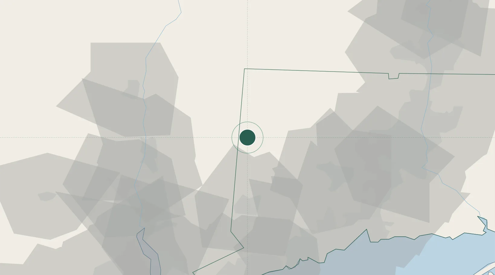
Hub Profile
Place type
Populated place
Region
Connecticut
Population
2,858
Time zone
America/New_York
Elevation
119 m
Location
Nearby Logistics Neighbours
Cities
- 1South Kent7 km
- 2Washington16 km
- 3Bantam18 km
- 4Millbrook19 km
- 5Morris23 km
Ports
- 1Poughkeepsie40 km
- 2Kingston47 km
- 3Newburgh51 km
- 4Catskill62 km
- 5Bridgeport67 km
Airports
Trade Zones
- 1FTZ No. 162 New Haven65 km
- 2FTZ No. 076 Bridgeport66 km
- 3FTZ No. 071 Windsor Locks73 km
- 4FTZ No. 201 Holyoke83 km
- 5FTZ No. 052 Suffolk County93 km
DatabookThe Record of Consolidated Knowledge
United States beyond logistics?