Channel & Berth Profile
Pilotage, Tugs & Services
Pilotage compulsoryYES
Tug assistanceNO
Salvage tugsNO
Potable waterYES
Diesel bunkersYES
MedicalYES
Facilities & Capabilities
Container—
Ro-Ro—
Liquid bulk—
Dry bulk—
Oil terminal—
Break bulk—
Dry dock—
RepairsNO
Bunkering—
Rail linkYES
Dangerous cargo—
ISPS security—
Harbour Specifications
Harbour size
Very Small
Harbour type
River (Natural)
Shelter
Excellent
Water body
North Atlantic Ocean
Tidal range
2.1 m
Overhead limit
Yes
Pilotage
Yes
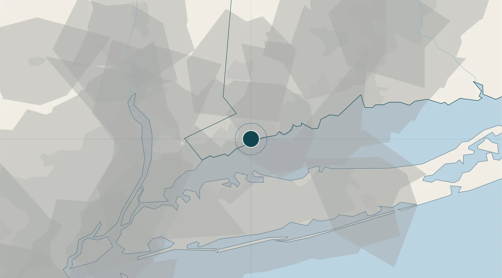
Location
Nearby Logistics Neighbours
Ports
- 1Southport12 km
- 2Stamford13 km
- 3Greenwich19 km
- 4Bridgeport21 km
- 5Port Chester24 km
Cities
- 1Purchase8 km
- 2Georgetown, Fairfield17 km
- 3Pound Ridge17 km
- 4Ridgefield22 km
- 5Cold Spring Harbor26 km
Airports
Trade Zones
DatabookThe Record of Consolidated Knowledge
United States beyond logistics?