Transport Functions
Multimodal
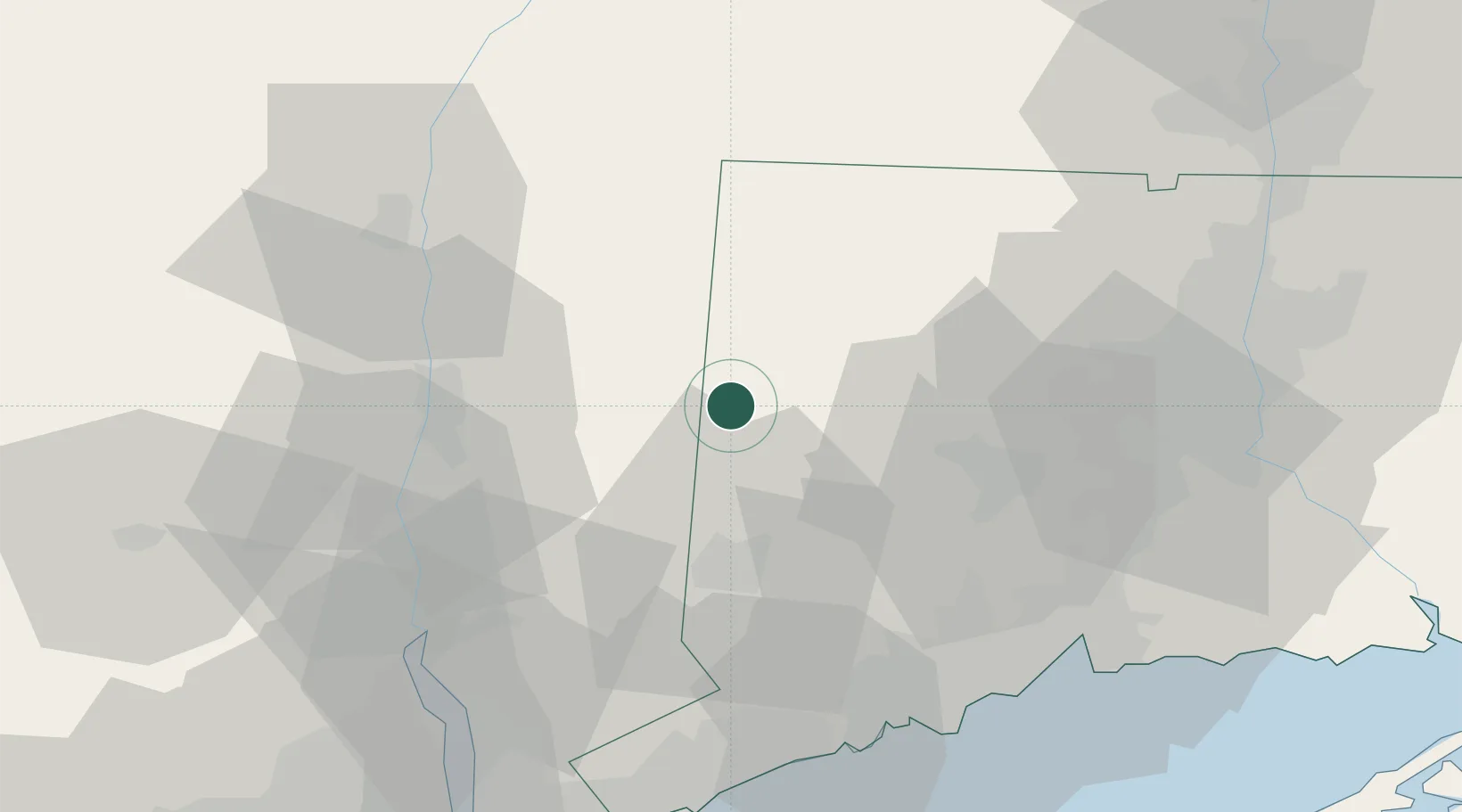
Hub Profile
Place type
Populated place
Region
Connecticut
Time zone
America/New_York
Elevation
125 m
Location
Nearby Logistics Neighbours
Cities
- 1Kent7 km
- 2Washington13 km
- 3Bantam19 km
- 4Holmes22 km
- 5Millbrook22 km
Ports
- 1Poughkeepsie40 km
- 2Newburgh48 km
- 3Kingston51 km
- 4Bridgeport60 km
- 5Southport61 km
Airports
Trade Zones
- 1FTZ No. 076 Bridgeport59 km
- 2FTZ No. 162 New Haven60 km
- 3FTZ No. 071 Windsor Locks75 km
- 4FTZ No. 052 Suffolk County86 km
- 5FTZ No. 201 Holyoke88 km
DatabookThe Record of Consolidated Knowledge
United States beyond logistics?