Medium airport · United States
Igor I Sikorsky Memorial AirportKBDR
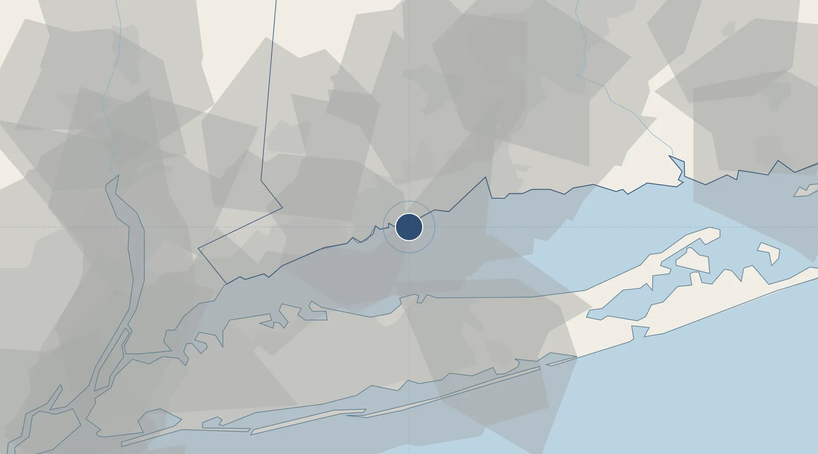
41.1635°, -73.1262°
4,759 ft
Longest runway
2
Runways
9 ft
Elevation
Runway & Layout

Radio Frequencies
ATIS
119.15 MHz
TWR
120.9 MHz
BRIDGEPORT TWR
GND
121.9 MHz
CLD
121.75 MHz
CLNC DEL
CTAF
120.9 MHz
A/D
124.075 MHz
NEW YORK APP/DEP
RDO
108.8 MHz
BRIDGEPORT RDO
UNIC
123 MHz
UNICOM
Navaids
BDR VOR-DME Bridgeport 108.80 MHz
Runways · 2
| Runway | Dimensions | Surface | True heading | Lit |
|---|---|---|---|---|
| 11/29 | 4,759 × 150ft | Asphalt | 098° | ✓ |
| 06/24 | 4,677 × 100ft | Asphalt | 045° | ✓ |
Airport Specifications
IATA code
BDR
ICAO code
KBDR
Airport class
Medium airport
Scheduled service
No
Runway surface
Asphalt
Served city
Bridgeport
Location
Nearby Logistics Neighbours
Airports
- 1Tweed New Haven Airport23 km
- 2Danbury Municipal Airport38 km
- 3Long Island MacArthur Airport41 km
- 4Westchester County Airport50 km
- 5Republic Airport54 km
Cities
- 1Ansonia21 km
- 2Riverside25 km
- 3East Setauket26 km
- 4Port Jefferson26 km
- 5Purchase27 km
Ports
- 1Bridgeport5 km
- 2Southport14 km
- 3New Haven19 km
- 4Port Jefferson24 km
- 5Norwalk25 km
Trade Zones
- 1FTZ No. 076 Bridgeport6 km
- 2FTZ No. 162 New Haven23 km
- 3FTZ No. 052 Suffolk County28 km
- 4FTZ No. 208 New London89 km
- 5FTZ No. 001 New York City90 km
DatabookThe Record of Consolidated Knowledge
United States beyond logistics?