UN/LOCODE hub · United States
USZNF
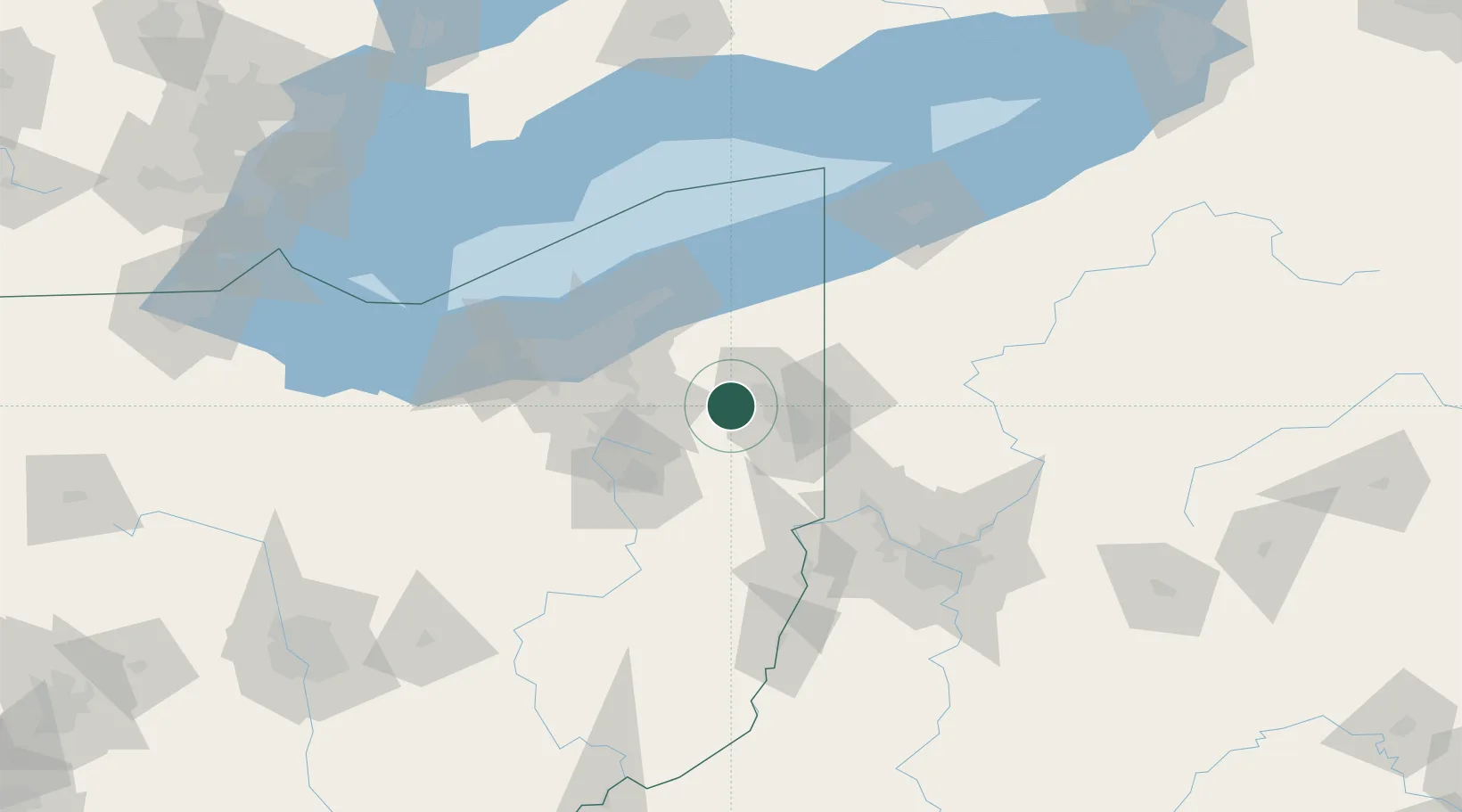
Newton Falls
41.1833°, -80.9667°
4,654
Population
3
Transport functions
Transport Functions
Rail
Road
Multimodal
Hub Profile
Place type
Populated place
Region
Ohio
Population
4,654
Time zone
America/New_York
Elevation
284 m
Location
Nearby Logistics Neighbours
Cities
- 1North Jackson14 km
- 2McDonald, Trumbull20 km
- 3Ravenna23 km
- 4Mantua24 km
- 5Rootstown25 km
Airports
Trade Zones
- 1FTZ No. 181 Akron Canton70 km
- 2FTZ No. 040 Cleveland81 km
- 3FTZ No. 033 Pittsburgh114 km
- 4FTZ No. 247 Erie126 km
- 5FTZ No. 254 Jefferson County188 km
DatabookThe Record of Consolidated Knowledge
United States beyond logistics?