Transport Functions
Port
Multimodal
Hub Profile
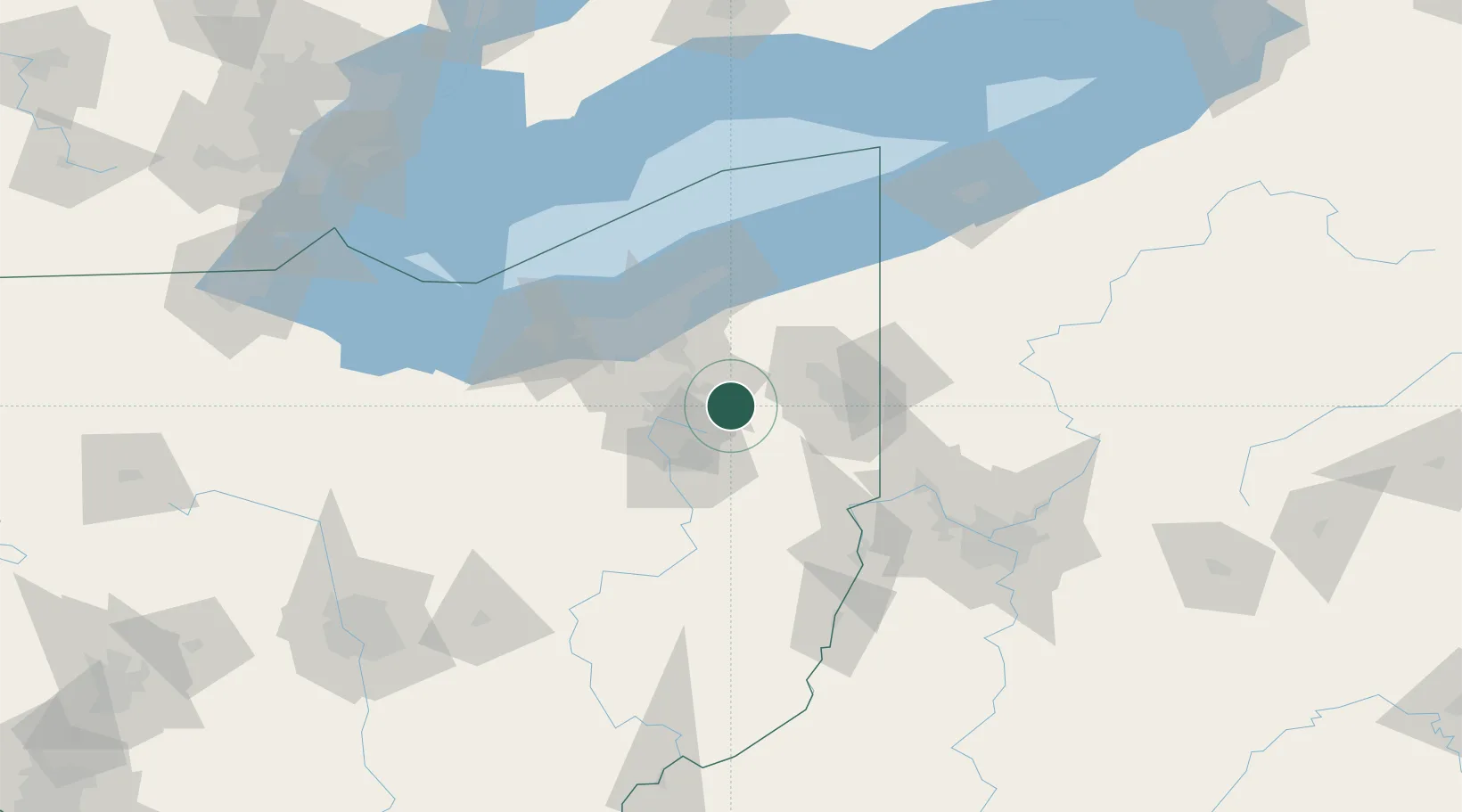
Place type
Populated place
Region
Ohio
Time zone
America/New_York
Elevation
343 m
Location
Nearby Logistics Neighbours
Cities
- 1Ravenna7 km
- 2Munroe Falls18 km
- 3Mantua22 km
- 4Newton Falls25 km
- 5Beloit27 km
Airports
Trade Zones
- 1FTZ No. 181 Akron Canton45 km
- 2FTZ No. 040 Cleveland69 km
- 3FTZ No. 033 Pittsburgh123 km
- 4FTZ No. 247 Erie148 km
- 5FTZ No. 138 Franklin County202 km
DatabookThe Record of Consolidated Knowledge
United States beyond logistics?