Medium airport · United States

Beaver County AirportKBVI
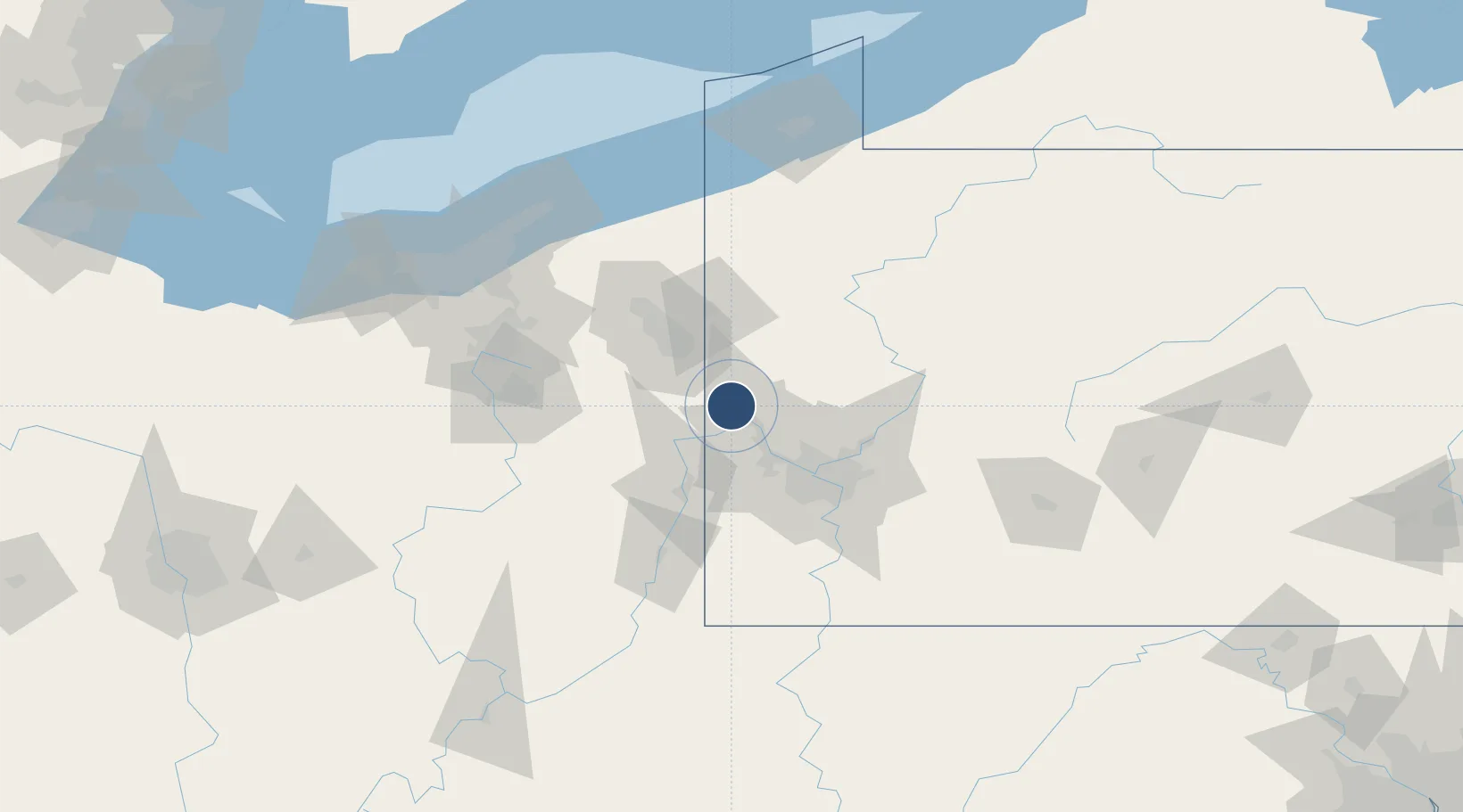
40.7725°, -80.3914°
4,501 ft
Longest runway
1
Runways
1,253 ft
Elevation

Runway & Layout

Beaver County Airport runway & taxiway layout
Runway & taxiway layout — OpenStreetMap (ODbL) / OurAirports

Radio Frequencies

ATIS
118.35 MHz
TWR
120.3 MHz
GND
121.8 MHz
CLD
124.85 MHz
PITTSBURGH CLNC DEL
CTAF
120.3 MHz
A/D
124.75 MHz
PITTSBURGH APP/DEP
RDO
115.8 MHz
ALTOONA RDO
OurAirports

Runways · 1

RunwayDimensions SurfaceTrue headingLit
10/28 4,501 × 100ft Asphalt 094°
OurAirports

Airport Specifications

IATA code
BFP
OurAirports
ICAO code
KBVI
OurAirports
Airport class
Medium airport
OurAirports
Scheduled service
No
OurAirports
Runway surface
Asphalt
OurAirports
Served city
Beaver Falls
OurAirports

Location

Location of KBVI
Natural Earth 10m (public domain) · Pennsylvania · KBVI · 40.77, -80.39GoogleOSMYandex

Nearby Logistics Neighbours

Airports
  1. 1Pittsburgh International Airport34 km
  2. 2Youngstown Warren Regional Airport59 km
  3. 3Allegheny County Airport61 km
  4. 4Wheeling Ohio County Airport70 km
  5. 5Venango Regional Airport81 km
Nearest neighbours — logibook spatial index (haversine) over the source coordinates
Cities
  1. 1Koppel9 km
  2. 2Negley12 km
  3. 3Beaver13 km
  4. 4Ohioview14 km
  5. 5East Palestine14 km
Nearest neighbours — logibook spatial index (haversine) over the source coordinates
Ports
  1. 1Ashtabula130 km
  2. 2Conneaut133 km
  3. 3Fairport134 km
  4. 4Cleveland137 km
  5. 5Erie155 km
Nearest neighbours — logibook spatial index (haversine) over the source coordinates
Trade Zones
  1. 1FTZ No. 033 Pittsburgh48 km
  2. 2FTZ No. 181 Akron Canton115 km
  3. 3FTZ No. 295 Central Pennsylvania145 km
  4. 4FTZ No. 040 Cleveland146 km
  5. 5FTZ No. 247 Erie151 km
Nearest neighbours — logibook spatial index (haversine) over the source coordinates
DatabookThe Record of Consolidated Knowledge
United States beyond logistics?
Browse databook

All Sources

AirportsOurAirports
Public domain
Portsthe NGA World Port Index
Public domain (US gov)
LocationsUN/LOCODE
UN/LOCODE — free
Trade Zonesthe World Bank SEZ database
CC BY 4.0
Trade ZonesOpen Zone Map
CC BY
InfrastructureOpenStreetMap
ODbL 1.0
← United States airports