Medium airport · United States

Akron Fulton International AirportKAKR
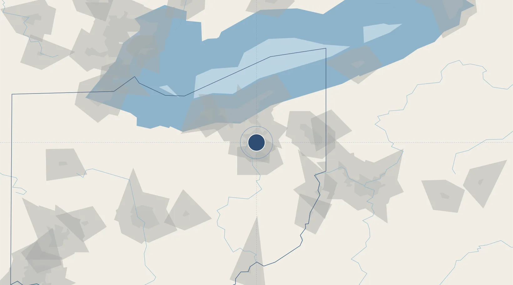
41.0374°, -81.4678°
6,336 ft
Longest runway
1
Runways
1,067 ft
Elevation

Runway & Layout

Akron Fulton International Airport runway & taxiway layout
Runway & taxiway layout — OpenStreetMap (ODbL) / OurAirports

Radio Frequencies

ASOS
126.825 MHz
CTAF
123.075 MHz
CTAF/UNICOM
A/D
118.6 MHz
APP/DEP
RDO
114.4 MHz
CLEVELAND RDO
OurAirports

Runways · 1

RunwayDimensions SurfaceTrue headingLit
07/25 6,336 × 150ft Asphalt 062°
OurAirports

Airport Specifications

IATA code
AKC
OurAirports
ICAO code
KAKR
OurAirports
Airport class
Medium airport
OurAirports
Scheduled service
No
OurAirports
Runway surface
Asphalt
OurAirports
Served city
Akron
OurAirports

Location

Location of KAKR
Natural Earth 10m (public domain) · Ohio · KAKR · 41.04, -81.47GoogleOSMYandex

Nearby Logistics Neighbours

Airports
  1. 1Akron Canton Regional Airport14 km
  2. 2Cleveland Hopkins International Airport53 km
  3. 3Burke Lakefront Airport56 km
  4. 4Cuyahoga County Airport59 km
  5. 5Youngstown Warren Regional Airport71 km
Nearest neighbours — logibook spatial index (haversine) over the source coordinates
Cities
  1. 1Munroe Falls13 km
  2. 2Fairlawn14 km
  3. 3Clinton18 km
  4. 4Rootstown20 km
  5. 5Wadsworth21 km
Nearest neighbours — logibook spatial index (haversine) over the source coordinates
Ports
  1. 1Cleveland56 km
  2. 2Lorain77 km
  3. 3Fairport82 km
  4. 4Vermilion87 km
  5. 5Huron99 km
Nearest neighbours — logibook spatial index (haversine) over the source coordinates
Trade Zones
  1. 1FTZ No. 181 Akron Canton25 km
  2. 2FTZ No. 040 Cleveland60 km
  3. 3FTZ No. 033 Pittsburgh137 km
  4. 4FTZ No. 247 Erie165 km
  5. 5FTZ No. 138 Franklin County184 km
Nearest neighbours — logibook spatial index (haversine) over the source coordinates
DatabookThe Record of Consolidated Knowledge
United States beyond logistics?
Browse databook

All Sources

AirportsOurAirports
Public domain
Portsthe NGA World Port Index
Public domain (US gov)
LocationsUN/LOCODE
UN/LOCODE — free
Trade Zonesthe World Bank SEZ database
CC BY 4.0
Trade ZonesOpen Zone Map
CC BY
InfrastructureOpenStreetMap
ODbL 1.0
← United States airports