Transport Functions
Rail
Road
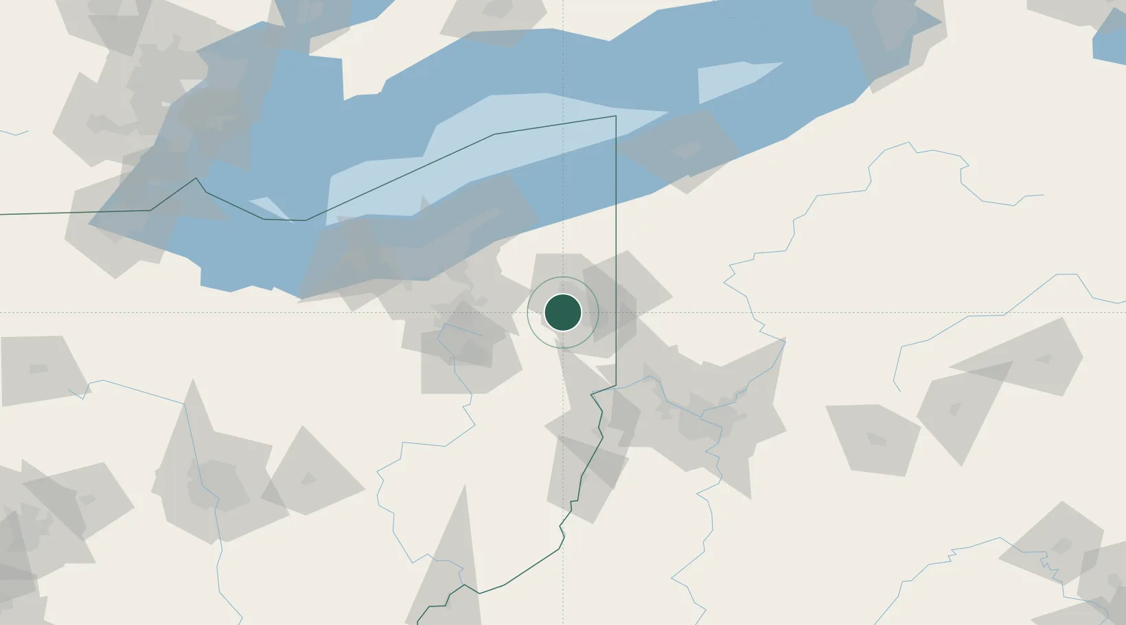
Hub Profile
Place type
Populated place
Region
Ohio
Time zone
America/New_York
Elevation
311 m
Location
Nearby Logistics Neighbours
Cities
- 1McDonald, Trumbull11 km
- 2Newton Falls14 km
- 3Poland23 km
- 4Beloit24 km
- 5North Lima25 km
Airports
Trade Zones
- 1FTZ No. 181 Akron Canton76 km
- 2FTZ No. 040 Cleveland94 km
- 3FTZ No. 033 Pittsburgh100 km
- 4FTZ No. 247 Erie129 km
- 5FTZ No. 295 Central Pennsylvania178 km
DatabookThe Record of Consolidated Knowledge
United States beyond logistics?