UN/LOCODE hub · United States
USMD8

McDonald, Trumbull

41.1500°, -80.7333°
2
Transport functions

Transport Functions

Road
Multimodal
UN/LOCODE

Hub Profile

Region
OH
GeoNames

Location

Location of USMD8
Natural Earth 10m (public domain) · OH · USMD8 · 41.15, -80.73GoogleOSMYandex

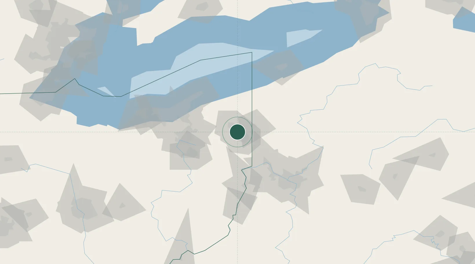
Nearby Logistics Neighbours

Cities
  1. 1North Jackson11 km
  2. 2Poland19 km
  3. 3Newton Falls20 km
  4. 4Sharpsville25 km
  5. 5North Lima25 km
Nearest neighbours — logibook spatial index (haversine) over the source coordinates
Ports
  1. 1Fairport83 km
  2. 2Ashtabula84 km
  3. 3Cleveland91 km
  4. 4Conneaut92 km
  5. 5Erie123 km
Nearest neighbours — logibook spatial index (haversine) over the source coordinates
Airports
  1. 1Youngstown Warren Regional Airport13 km
  2. 2Beaver County Airport51 km
  3. 3Akron Fulton International Airport63 km
  4. 4Akron Canton Regional Airport65 km
  5. 5Northeast Ohio Regional Airport70 km
Nearest neighbours — logibook spatial index (haversine) over the source coordinates
Trade Zones
  1. 1FTZ No. 181 Akron Canton87 km
  2. 2FTZ No. 033 Pittsburgh98 km
  3. 3FTZ No. 040 Cleveland101 km
  4. 4FTZ No. 247 Erie119 km
  5. 5FTZ No. 295 Central Pennsylvania168 km
Nearest neighbours — logibook spatial index (haversine) over the source coordinates
DatabookThe Record of Consolidated Knowledge
United States beyond logistics?
Browse databook

All Sources

LocationsUN/LOCODE
UN/LOCODE — free
Portsthe NGA World Port Index
Public domain (US gov)
AirportsOurAirports
Public domain
Trade Zonesthe World Bank SEZ database
CC BY 4.0
Trade ZonesOpen Zone Map
CC BY
← United States locations