Medium airport · United States

Akron Canton Regional AirportKCAK
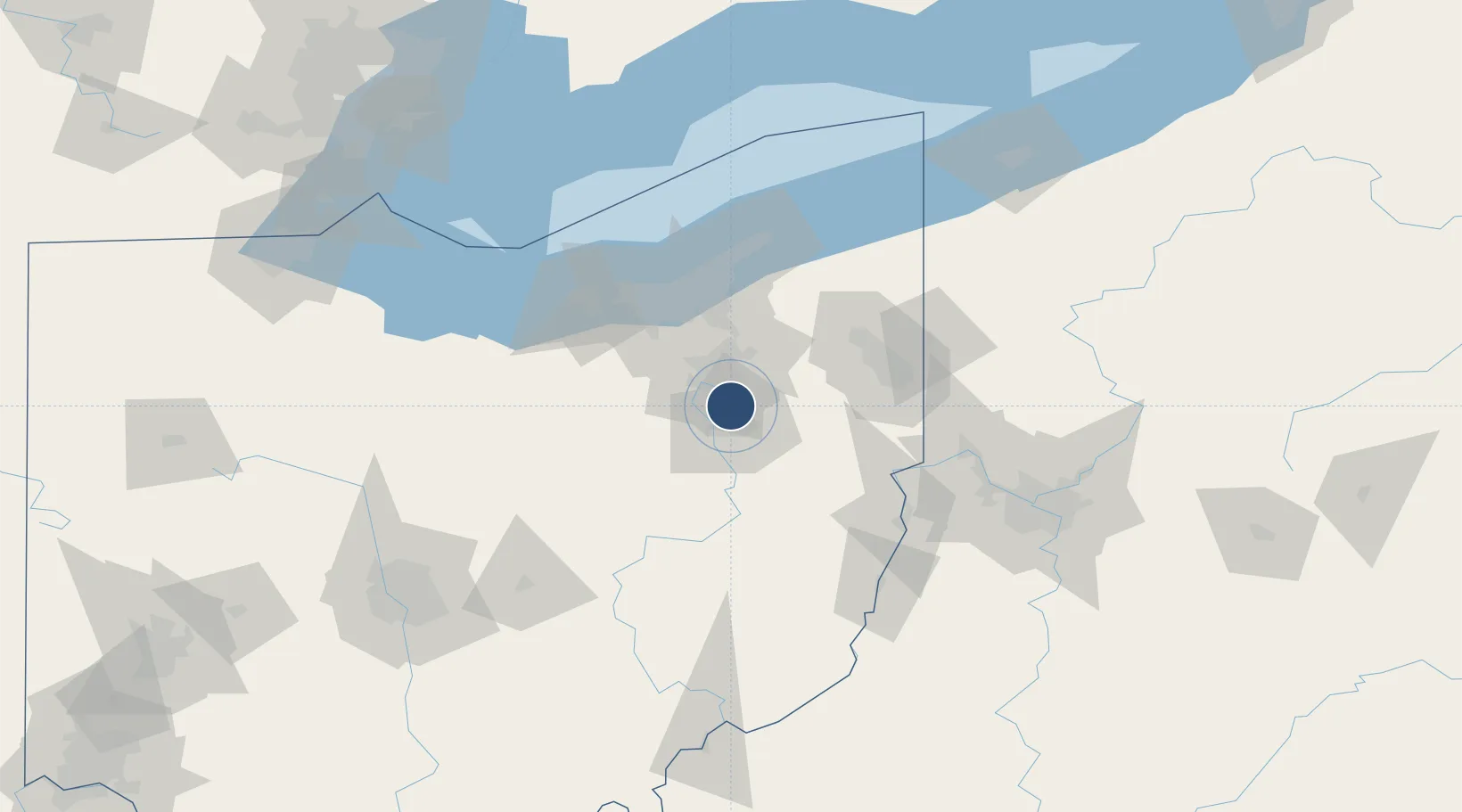
40.9161°, -81.4422°
8,204 ft
Longest runway
2
Runways
1,228 ft
Elevation

Runway & Layout

Akron Canton Regional Airport runway & taxiway layout
Runway & taxiway layout — OpenStreetMap (ODbL) / OurAirports

Radio Frequencies

ATIS
121.05 MHz
TWR
118.3 MHz
GND
121.7 MHz
CLD
132.05 MHz
CLNC DEL
A/D
32.3 MHz
APP/DEP
A/D
118.6 MHz
APP/DEP
OPS
41.1 MHz
ARNG OPS
RDO
114.4 MHz
CLEVELAND RDO
UNIC
122.95 MHz
UNICOM
OurAirports

Runways · 2

RunwayDimensions SurfaceTrue headingLit
05/23 8,204 × 150ft Asphalt 047°
01/19 7,601 × 150ft Asphalt 002°
OurAirports

Airport Specifications

IATA code
CAK
OurAirports
ICAO code
KCAK
OurAirports
Airport class
Medium airport
OurAirports
Scheduled service
Yes
OurAirports
Runway surface
Asphalt
OurAirports
Served city
Akron
OurAirports

Location

Location of KCAK
Natural Earth 10m (public domain) · Ohio · KCAK · 40.92, -81.44GoogleOSMYandex

Nearby Logistics Neighbours

Airports
  1. 1Akron Fulton International Airport14 km
  2. 2Cleveland Hopkins International Airport65 km
  3. 3Burke Lakefront Airport70 km
  4. 4Cuyahoga County Airport72 km
  5. 5Youngstown Warren Regional Airport75 km
Nearest neighbours — logibook spatial index (haversine) over the source coordinates
Cities
  1. 1Clinton15 km
  2. 2East Canton20 km
  3. 3Navarre23 km
  4. 4Dalton25 km
  5. 5Rootstown26 km
Nearest neighbours — logibook spatial index (haversine) over the source coordinates
Ports
  1. 1Cleveland69 km
  2. 2Lorain87 km
  3. 3Fairport95 km
  4. 4Vermilion96 km
  5. 5Huron107 km
Nearest neighbours — logibook spatial index (haversine) over the source coordinates
Trade Zones
  1. 1FTZ No. 181 Akron Canton26 km
  2. 2FTZ No. 040 Cleveland73 km
  3. 3FTZ No. 033 Pittsburgh129 km
  4. 4FTZ No. 247 Erie174 km
  5. 5FTZ No. 138 Franklin County176 km
Nearest neighbours — logibook spatial index (haversine) over the source coordinates
DatabookThe Record of Consolidated Knowledge
United States beyond logistics?
Browse databook

All Sources

AirportsOurAirports
Public domain
Portsthe NGA World Port Index
Public domain (US gov)
LocationsUN/LOCODE
UN/LOCODE — free
Trade Zonesthe World Bank SEZ database
CC BY 4.0
Trade ZonesOpen Zone Map
CC BY
InfrastructureOpenStreetMap
ODbL 1.0
← United States airports