Transport Functions
Multimodal
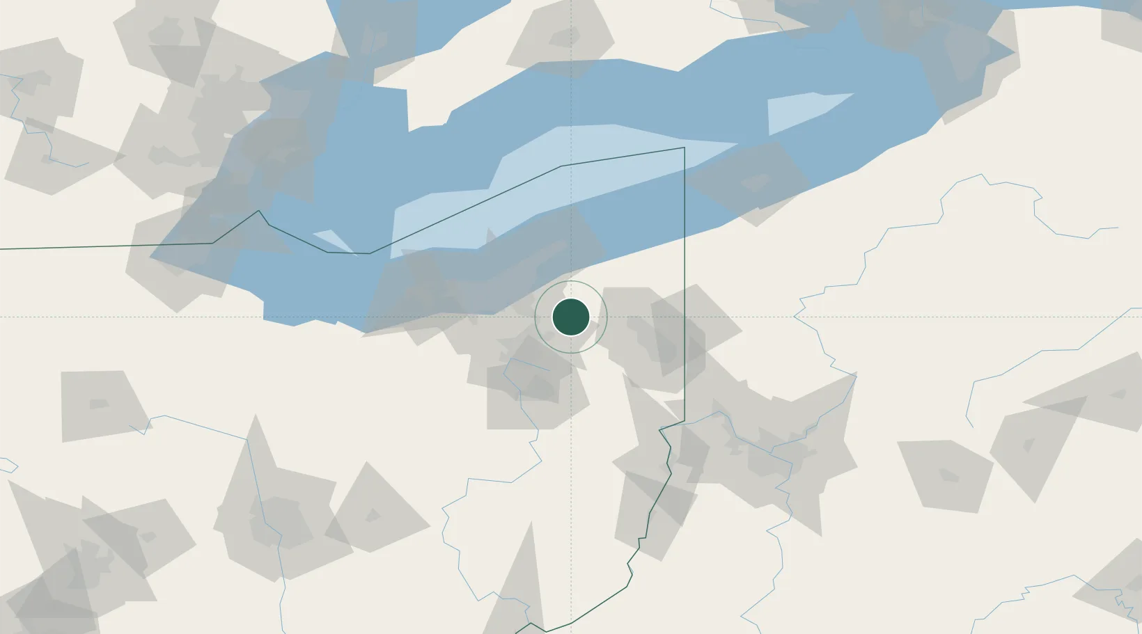
Hub Profile
Place type
Populated place
Region
Ohio
Population
1,021
Time zone
America/New_York
Elevation
350 m
Location
Nearby Logistics Neighbours
Cities
- 1Ravenna15 km
- 2Rootstown22 km
- 3Middlefield22 km
- 4Glenwillow23 km
- 5Munroe Falls23 km
Airports
Trade Zones
- 1FTZ No. 181 Akron Canton57 km
- 2FTZ No. 040 Cleveland58 km
- 3FTZ No. 247 Erie131 km
- 4FTZ No. 033 Pittsburgh136 km
- 5Windsor - Essex Foreign Trade Zone189 km
DatabookThe Record of Consolidated Knowledge
United States beyond logistics?