UN/LOCODE hub · United States
USRVN
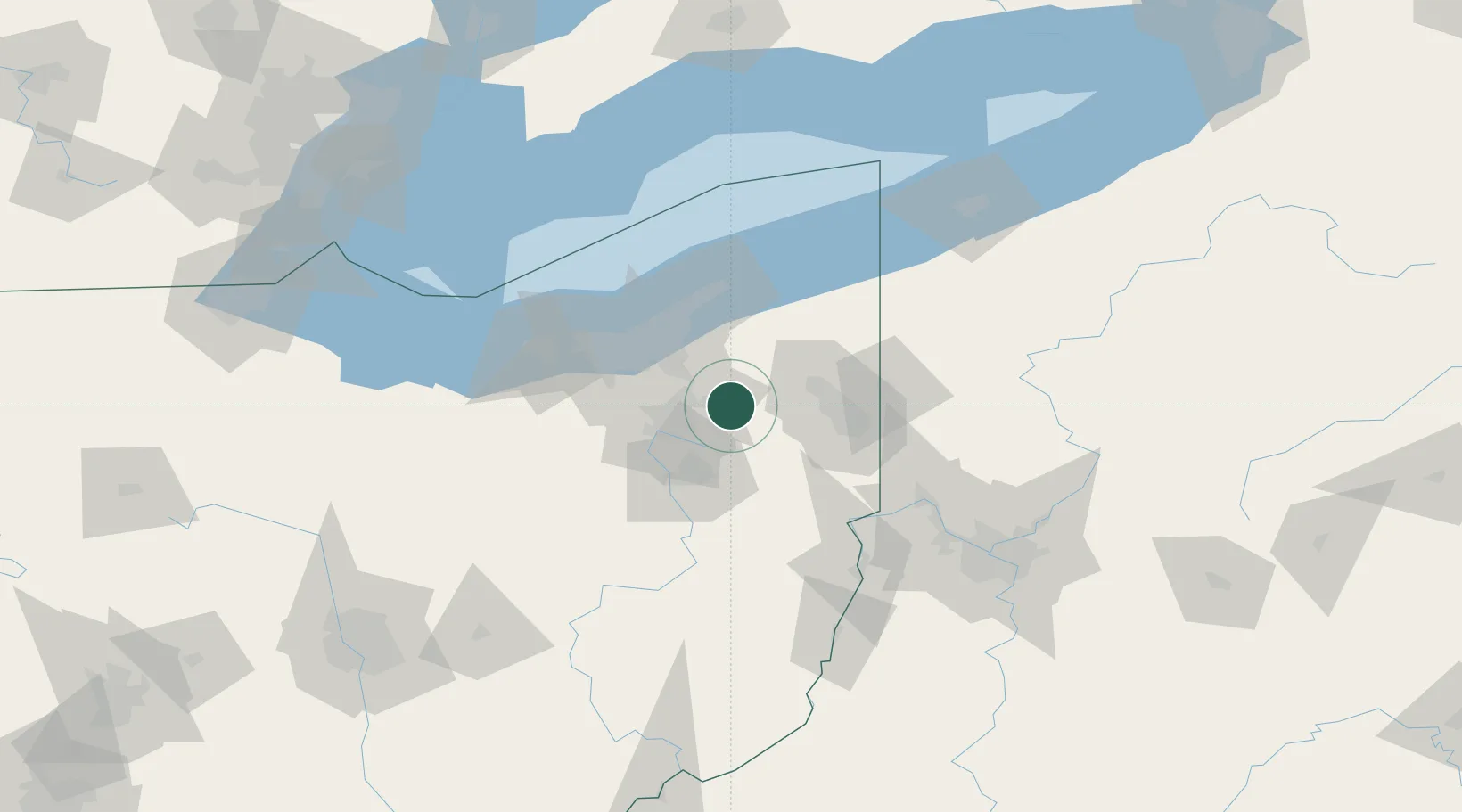
Ravenna
41.1500°, -81.2333°
11,619
Population
3
Transport functions
Transport Functions
Rail
Road
Multimodal
Hub Profile
Place type
Provincial seat
Region
Ohio
Population
11,619
Time zone
America/New_York
Elevation
345 m
Location
Nearby Logistics Neighbours
Cities
- 1Rootstown7 km
- 2Mantua15 km
- 3Munroe Falls17 km
- 4Newton Falls23 km
- 5Peninsula28 km
Airports
Trade Zones
- 1FTZ No. 181 Akron Canton48 km
- 2FTZ No. 040 Cleveland64 km
- 3FTZ No. 033 Pittsburgh128 km
- 4FTZ No. 247 Erie143 km
- 5Windsor - Essex Foreign Trade Zone198 km
DatabookThe Record of Consolidated Knowledge
United States beyond logistics?