Medium airport · United States
Kirksville Regional AirportKIRK
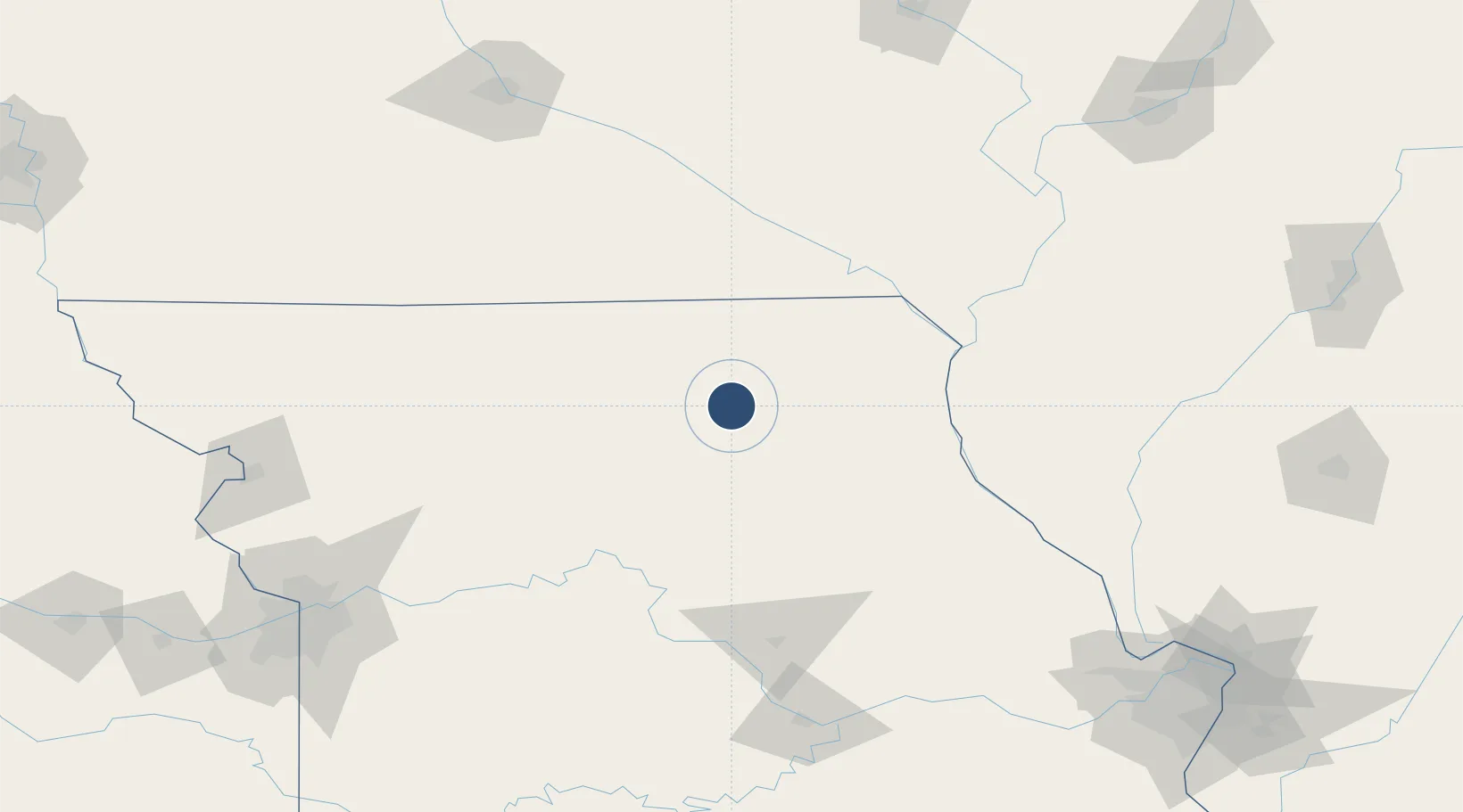
40.0935°, -92.5449°
6,005 ft
Longest runway
2
Runways
966 ft
Elevation
Runway & Layout

Radio Frequencies
ASOS
121.125 MHz
CNTR
132.6 MHz
KANSAS CITY CNTR
RDO
122.2 MHz
COLUMBIA RDO
UNIC
122.8 MHz
CTAF/UNICOM
Navaids
IRK VORTAC Kirksville 114.60 MHz
Runways · 2
| Runway | Dimensions | Surface | True heading | Lit |
|---|---|---|---|---|
| 18/36 | 6,005 × 100ft | Concrete | 180° | ✓ |
| 09/27 | 1,370 × 100ft | Graded earth | 091° | — |
Airport Specifications
IATA code
IRK
ICAO code
KIRK
Airport class
Medium airport
Scheduled service
Yes
Runway surface
Concrete
Served city
Kirksville
Location
Nearby Logistics Neighbours
Airports
- 1Ottumwa Regional Airport113 km
- 2Quincy Regional Airport Baldwin Field116 km
- 3Southeast Iowa Regional Airport143 km
- 4Columbia Regional Airport145 km
- 5Whiteman Air Force Base174 km
Cities
- 1Novelty31 km
- 2Green Castle32 km
- 3Callao39 km
- 4Milan50 km
- 5Newark51 km
Ports
- 1Calumet Harbor460 km
- 2Chicago460 km
- 3Wilmette464 km
- 4Indiana Harbor464 km
- 5Great Lakes464 km
Trade Zones
- 1FTZ No. 055 Burlington146 km
- 2FTZ No. 107 Polk County201 km
- 3FTZ No. 175 Cedar Rapids217 km
- 4FTZ No. 102 St. Louis County226 km
- 5FTZ No. 017 Kansas City227 km
DatabookThe Record of Consolidated Knowledge
United States beyond logistics?