Transport Functions
Multimodal
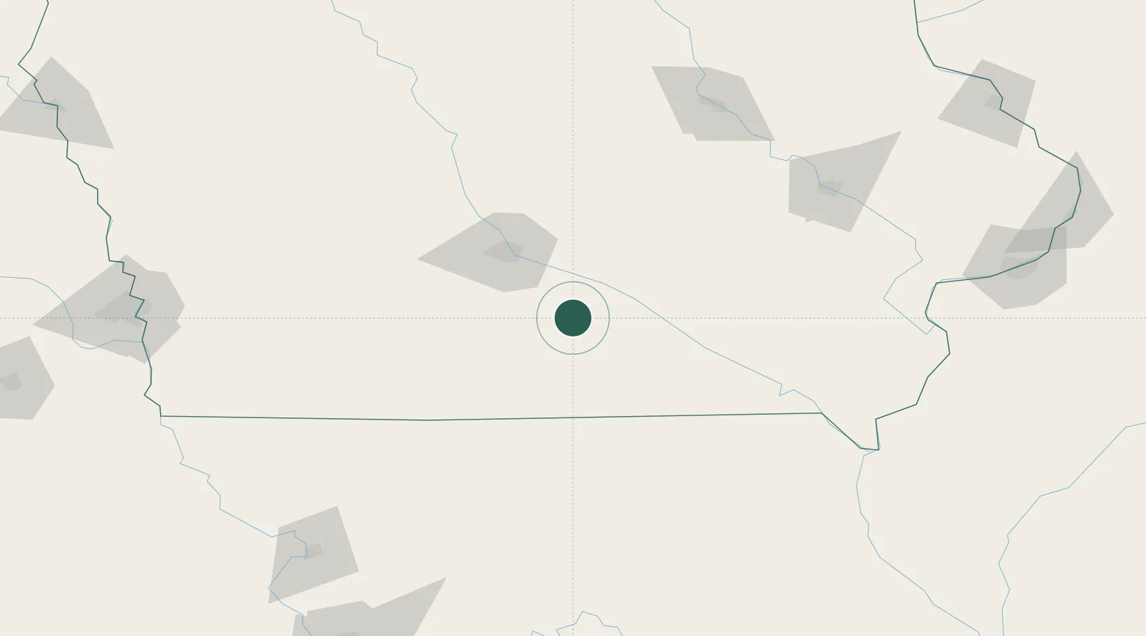
Hub Profile
Place type
Populated place
Region
Missouri
Time zone
America/Chicago
Elevation
254 m
Location
Nearby Logistics Neighbours
Cities
- 1Harvey31 km
- 2Liberty34 km
- 3Elkhart36 km
- 4Monroe37 km
- 5Prairie City45 km
Ports
- 1Great Lakes466 km
- 2Waukegan469 km
- 3Wilmette473 km
- 4Kenosha475 km
- 5Chicago476 km
Airports
- 1Des Moines International Airport50 km
- 2Ottumwa Regional Airport68 km
- 3Kirksville Regional Airport137 km
- 4The Eastern Iowa Airport149 km
- 5Waterloo Regional Airport167 km
Trade Zones
- 1FTZ No. 107 Polk County65 km
- 2FTZ No. 175 Cedar Rapids147 km
- 3FTZ No. 055 Burlington185 km
- 4FTZ No. 017 Kansas City271 km
- 5FTZ No. 271 Jo-Daviess and Carroll Counties279 km
DatabookThe Record of Consolidated Knowledge
United States beyond logistics?