Transport Functions
Road
Multimodal
Hub Profile
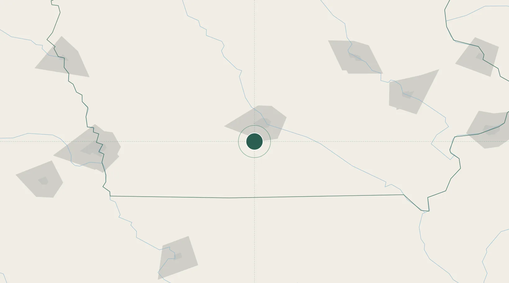
Place type
Populated place
Region
Iowa
Population
62
Time zone
America/Chicago
Elevation
257 m
Location
Nearby Logistics Neighbours
Cities
- 1Elkhart25 km
- 2Liberty25 km
- 3Clive28 km
- 4Pleasant Hill34 km
- 5Osceola35 km
Ports
- 1Great Lakes504 km
- 2Waukegan507 km
- 3Kenosha512 km
- 4Wilmette513 km
- 5Chicago517 km
Airports
- 1Des Moines International Airport23 km
- 2Ottumwa Regional Airport115 km
- 3Fort Dodge Regional Airport138 km
- 4Kirksville Regional Airport174 km
- 5Eppley Airfield176 km
Trade Zones
- 1FTZ No. 107 Polk County36 km
- 2FTZ No. 175 Cedar Rapids178 km
- 3FTZ No. 055 Burlington233 km
- 4FTZ No. 133 Quad-Cities, Iowa Illinois252 km
- 5FTZ No. 059 Lincoln263 km
DatabookThe Record of Consolidated Knowledge
United States beyond logistics?