Transport Functions
Rail
Road
Multimodal
Hub Profile
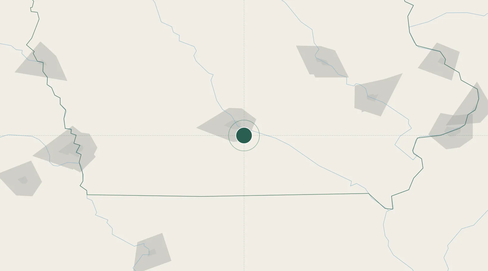
Place type
Populated place
Region
Iowa
Population
742
Time zone
America/Chicago
Elevation
298 m
Location
Nearby Logistics Neighbours
Cities
- 1Pleasant Hill15 km
- 2Altoona21 km
- 3Des Moines23 km
- 4Clive24 km
- 5Bevington25 km
Ports
- 1Great Lakes480 km
- 2Waukegan483 km
- 3Kenosha487 km
- 4Wilmette489 km
- 5Chicago494 km
Airports
- 1Des Moines International Airport15 km
- 2Ottumwa Regional Airport97 km
- 3Fort Dodge Regional Airport135 km
- 4Waterloo Regional Airport154 km
- 5The Eastern Iowa Airport158 km
Trade Zones
- 1FTZ No. 107 Polk County30 km
- 2FTZ No. 175 Cedar Rapids153 km
- 3FTZ No. 055 Burlington214 km
- 4FTZ No. 133 Quad-Cities, Iowa Illinois277 km
- 5FTZ No. 288 Northwest Iowa284 km
DatabookThe Record of Consolidated Knowledge
United States beyond logistics?