UN/LOCODE hub · United States
USOCV
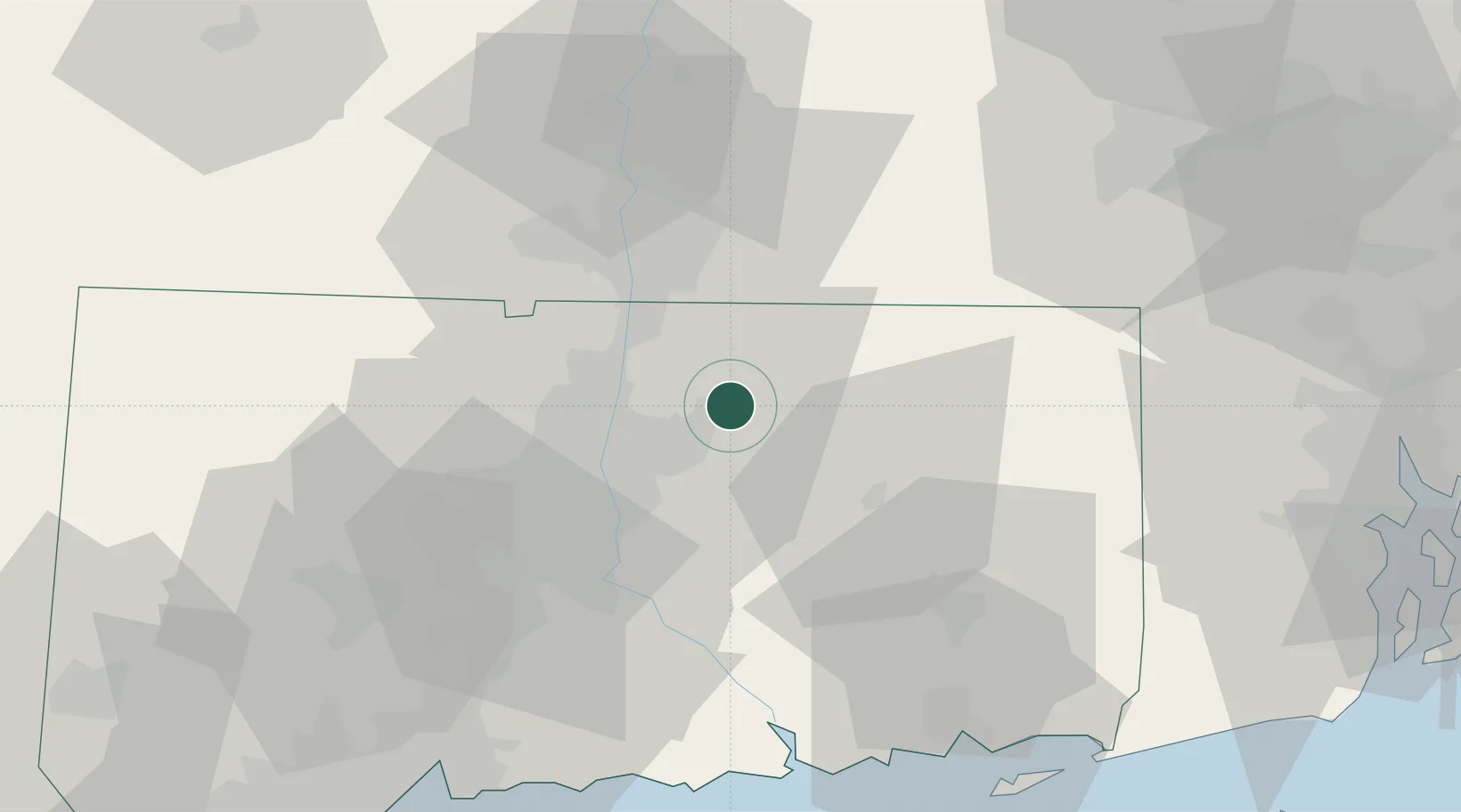
Rockville
41.8667°, -72.4500°
7,474
Population
2
Transport functions
Transport Functions
Road
Multimodal
Hub Profile
Place type
Populated place
Region
Connecticut
Population
7,474
Time zone
America/New_York
Elevation
121 m
Location
Nearby Logistics Neighbours
Cities
- 1Ellington4 km
- 2Broad Brook8 km
- 3East Windsor10 km
- 4Coventry17 km
- 5Stafford19 km
Ports
- 1Norwich49 km
- 2Essex58 km
- 3New London65 km
- 4Mystic70 km
- 5Noank72 km
Airports
Trade Zones
DatabookThe Record of Consolidated Knowledge
United States beyond logistics?