Transport Functions
Road
Multimodal
Hub Profile
Place type
Populated place
Region
Colorado
Time zone
America/Denver
Elevation
1,806 m
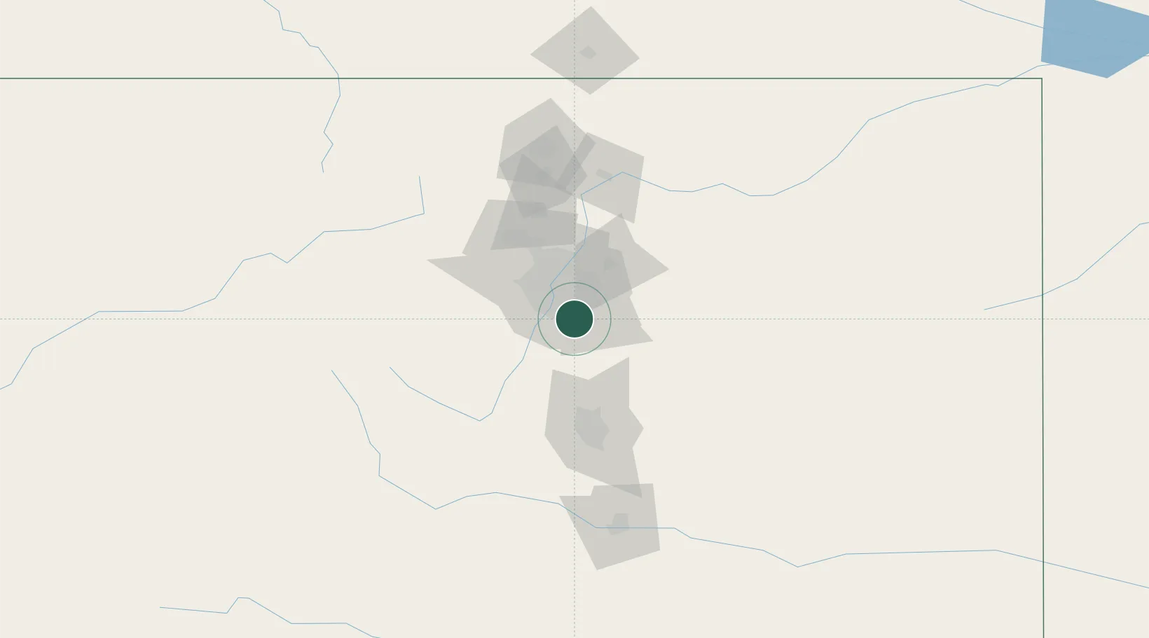
Location
Nearby Logistics Neighbours
Cities
- 1Lone Tree1 km
- 2Centennial5 km
- 3Highlands Ranch6 km
- 4Loan Tree8 km
- 5Castle Pines9 km
Ports
- 1Duluth1311 km
- 2Superior1311 km
- 3Newport Beach1332 km
- 4San Diego1337 km
- 5Rosarito1355 km
Airports
Trade Zones
- 1FTZ No. 123 Denver24 km
- 2FTZ No. 298 Jefferson County32 km
- 3FTZ No. 112 Colorado Springs78 km
- 4FTZ No. 293 Limon109 km
- 5FTZ No. 110 Albuquerque523 km
DatabookThe Record of Consolidated Knowledge
United States beyond logistics?