Transport Functions
Road
Multimodal
Hub Profile
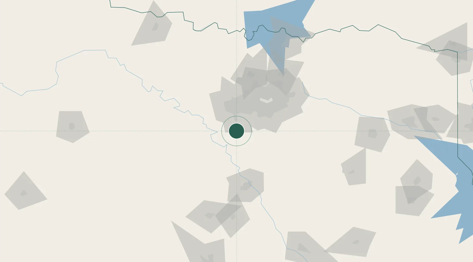
Place type
Populated place
Region
Texas
Population
6,181
Time zone
America/Chicago
Elevation
272 m
Location
Nearby Logistics Neighbours
Cities
- 1Joshua10 km
- 2Alvarado11 km
- 3Grandview19 km
- 4Cresson32 km
- 5Cedar Hill41 km
Airports
Trade Zones
- 1FTZ No. 113 Ellis County30 km
- 2FTZ No. 168 Dallas Fort Worth44 km
- 3FTZ No. 196 Fort Worth52 km
- 4FTZ No. 039 Dallas Fort Worth82 km
- 5FTZ No. 246 Waco93 km
DatabookThe Record of Consolidated Knowledge
United States beyond logistics?