Transport Functions
Multimodal
Hub Profile
Place type
Populated place
Region
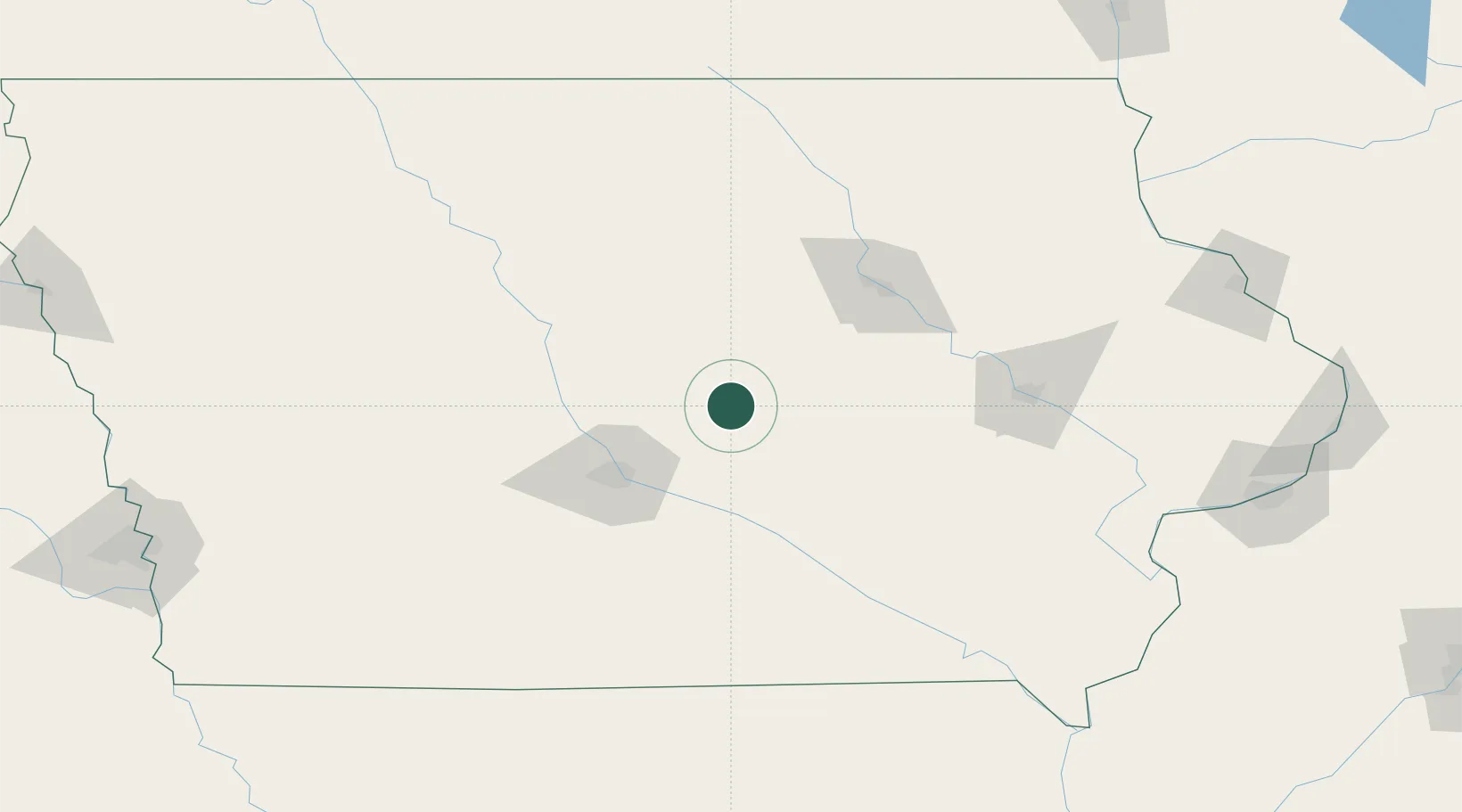
Iowa
Population
827
Time zone
America/Chicago
Elevation
318 m
Location
Nearby Logistics Neighbours
Cities
- 1Baxter14 km
- 2Colo20 km
- 3Kellogg29 km
- 4Nevada30 km
- 5Prairie City39 km
Ports
- 1Great Lakes436 km
- 2Waukegan438 km
- 3Kenosha441 km
- 4Milwaukee445 km
- 5Racine446 km
Airports
- 1Des Moines International Airport64 km
- 2Waterloo Regional Airport90 km
- 3Ottumwa Regional Airport107 km
- 4Fort Dodge Regional Airport113 km
- 5The Eastern Iowa Airport115 km
Trade Zones
DatabookThe Record of Consolidated Knowledge
United States beyond logistics?