UN/LOCODE hub · United States
USPII
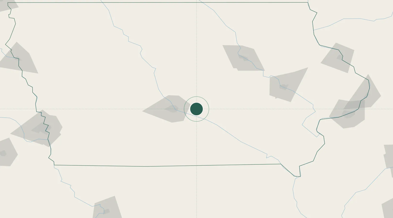
Prairie City
41.6000°, -93.2333°
1,709
Population
2
Transport functions
Transport Functions
Rail
Road
Hub Profile
Place type
Populated place
Region
Iowa
Population
1,709
Time zone
America/Chicago
Elevation
283 m
Location
Nearby Logistics Neighbours
Cities
- 1Monroe15 km
- 2Altoona20 km
- 3Bondurant22 km
- 4Pleasant Hill24 km
- 5Baxter25 km
Ports
- 1Great Lakes453 km
- 2Waukegan456 km
- 3Kenosha460 km
- 4Wilmette463 km
- 5Racine466 km
Airports
- 1Des Moines International Airport36 km
- 2Ottumwa Regional Airport85 km
- 3Waterloo Regional Airport127 km
- 4The Eastern Iowa Airport130 km
- 5Fort Dodge Regional Airport132 km
Trade Zones
DatabookThe Record of Consolidated Knowledge
United States beyond logistics?