Transport Functions
Road
Multimodal
Hub Profile
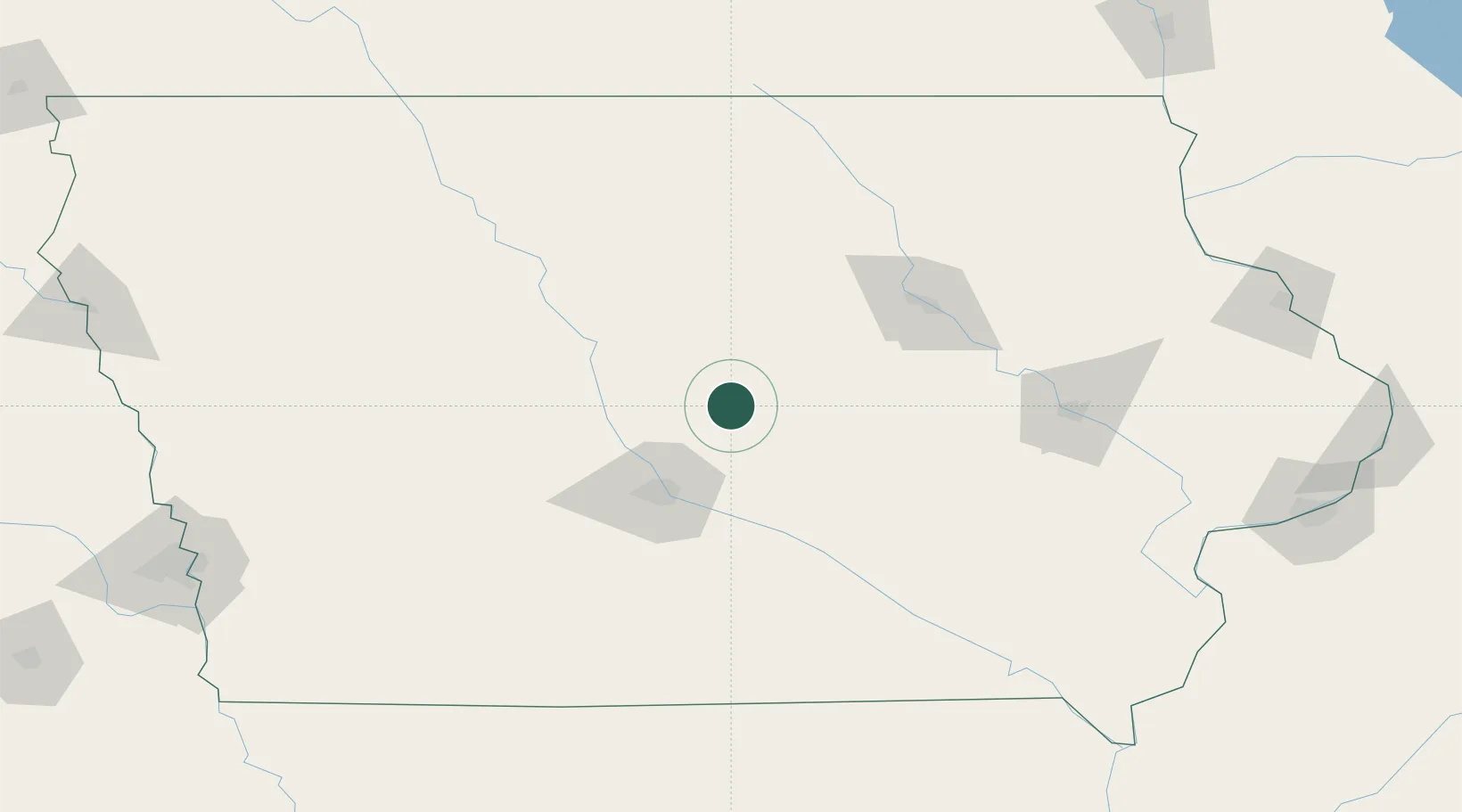
Place type
Populated place
Region
Iowa
Population
861
Time zone
America/Chicago
Elevation
317 m
Location
Nearby Logistics Neighbours
Cities
- 1Nevada11 km
- 2Melbourne20 km
- 3Baxter26 km
- 4New Providence32 km
- 5Bondurant37 km
Ports
- 1Great Lakes453 km
- 2Waukegan455 km
- 3Kenosha457 km
- 4Milwaukee459 km
- 5Racine461 km
Airports
Trade Zones
DatabookThe Record of Consolidated Knowledge
United States beyond logistics?