Transport Functions
Rail
Road
Multimodal
Hub Profile
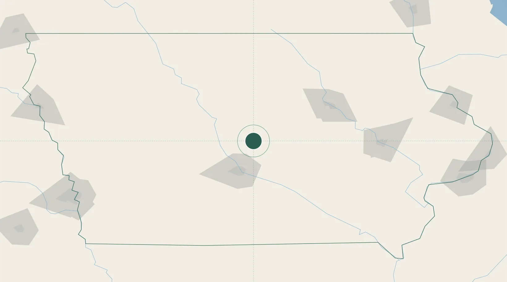
Place type
Provincial seat
Region
Iowa
Population
6,831
Time zone
America/Chicago
Elevation
305 m
Location
Nearby Logistics Neighbours
Ports
- 1Great Lakes464 km
- 2Waukegan466 km
- 3Kenosha468 km
- 4Milwaukee470 km
- 5Racine472 km
Airports
Trade Zones
DatabookThe Record of Consolidated Knowledge
United States beyond logistics?