Transport Functions
Rail
Road
Multimodal
Hub Profile
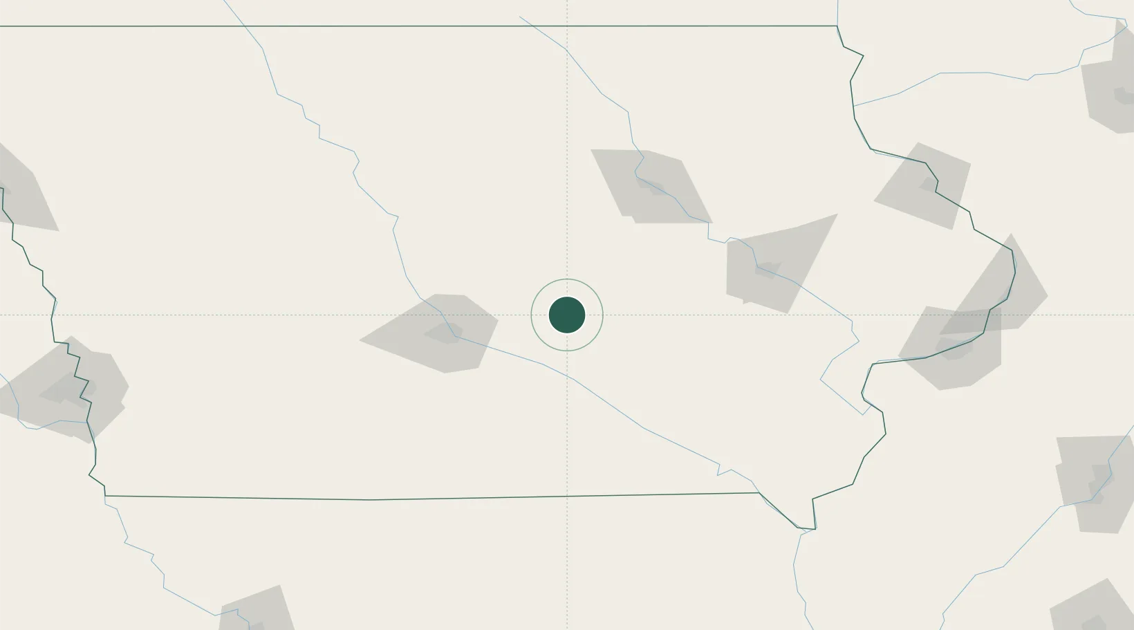
Place type
Populated place
Region
Iowa
Population
592
Time zone
America/Chicago
Elevation
273 m
Location
Nearby Logistics Neighbours
Ports
- 1Great Lakes425 km
- 2Waukegan427 km
- 3Kenosha431 km
- 4Wilmette435 km
- 5Racine438 km
Airports
- 1Des Moines International Airport65 km
- 2Ottumwa Regional Airport78 km
- 3The Eastern Iowa Airport102 km
- 4Waterloo Regional Airport103 km
- 5Fort Dodge Regional Airport140 km
Trade Zones
- 1FTZ No. 107 Polk County66 km
- 2FTZ No. 175 Cedar Rapids96 km
- 3FTZ No. 055 Burlington182 km
- 4FTZ No. 271 Jo-Daviess and Carroll Counties231 km
- 5FTZ No. 114 Peoria301 km
DatabookThe Record of Consolidated Knowledge
United States beyond logistics?