UN/LOCODE hub · United States
USYSC
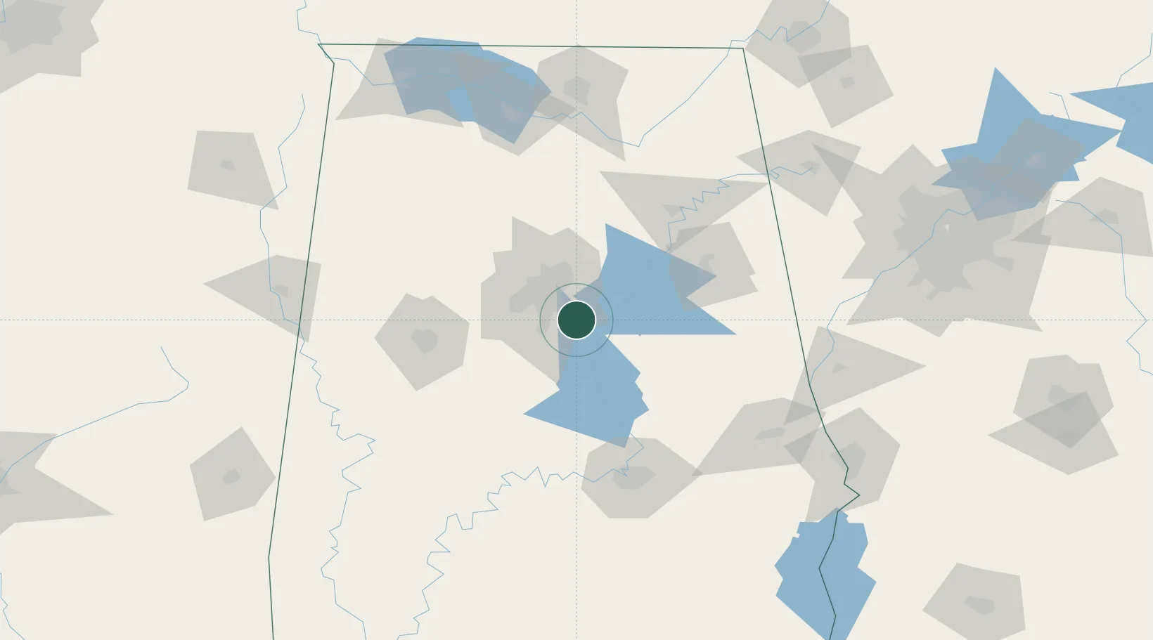
Chelsea
33.3333°, -86.6167°
12,059
Population
2
Transport functions
Transport Functions
Port
Multimodal
Hub Profile
Place type
Populated place
Region
Alabama
Population
12,059
Time zone
America/Chicago
Elevation
156 m
Location
Nearby Logistics Neighbours
Cities
- 1Pelham16 km
- 2Harpersville17 km
- 3Vincent19 km
- 4Homewood21 km
- 5Helena22 km
Ports
- 1Mobile327 km
- 2Pensacola331 km
- 3Panama City367 km
- 4Port Of Memphis379 km
- 5Pascagoula379 km
Airports
Trade Zones
- 1FTZ No. 098 Birmingham28 km
- 2FTZ No. 222 Montgomery111 km
- 3FTZ No. 083 Huntsville147 km
- 4FTZ No. 270 Lawrence County148 km
- 5FTZ No. 265 Conroe (Montgomery County)151 km
DatabookThe Record of Consolidated Knowledge
United States beyond logistics?