Transport Functions
Rail
Road
Multimodal
Hub Profile
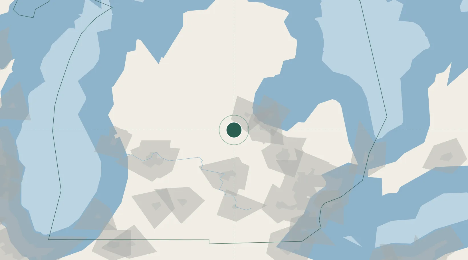
Place type
Populated place
Region
Michigan
Time zone
America/Detroit
Elevation
219 m
Location
Nearby Logistics Neighbours
Cities
- 1Shepherd24 km
- 2Saint Charles28 km
- 3White29 km
- 4Sanford30 km
- 5Middleton32 km
Ports
- 1Saginaw41 km
- 2Bay City51 km
- 3Alabaster112 km
- 4Tawas City122 km
- 5Oscoda144 km
Airports
Trade Zones
DatabookThe Record of Consolidated Knowledge
United States beyond logistics?