Transport Functions
Rail
Road
Multimodal
Hub Profile
Place type
Populated place
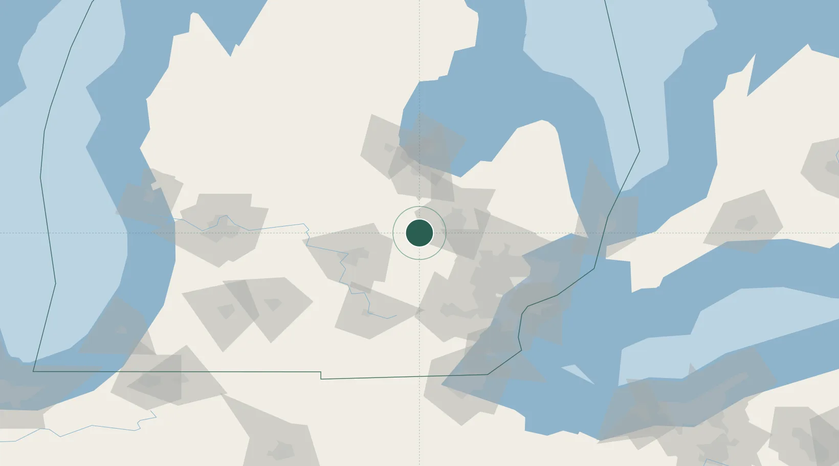
Region
Michigan
Population
3,338
Time zone
America/Detroit
Elevation
242 m
Location
Nearby Logistics Neighbours
Cities
- 1Perry22 km
- 2Oakley28 km
- 3Grand Blanc30 km
- 4Fowlerville30 km
- 5Ovid33 km
Airports
Trade Zones
- 1FTZ No. 284 Genesee County10 km
- 2FTZ No. 140 Flint21 km
- 3FTZ No. 101 Clinton County62 km
- 4FTZ No. 070 Detroit87 km
- 5Windsor - Essex Foreign Trade Zone103 km
DatabookThe Record of Consolidated Knowledge
United States beyond logistics?