UN/LOCODE hub · United States
USZG4

Ovid

43.0000°, -84.3667°
1,612
Population
1
Transport functions

Transport Functions

Multimodal
UN/LOCODE

Hub Profile

Place type
Populated place
GeoNames
Region
Michigan
GeoNames
Population
1,612
GeoNames
Time zone
America/Detroit
GeoNames
Elevation
223 m
GeoNames

Location

Location of USZG4
Natural Earth 10m (public domain) · Michigan · USZG4 · 43.00, -84.37GoogleOSMYandex

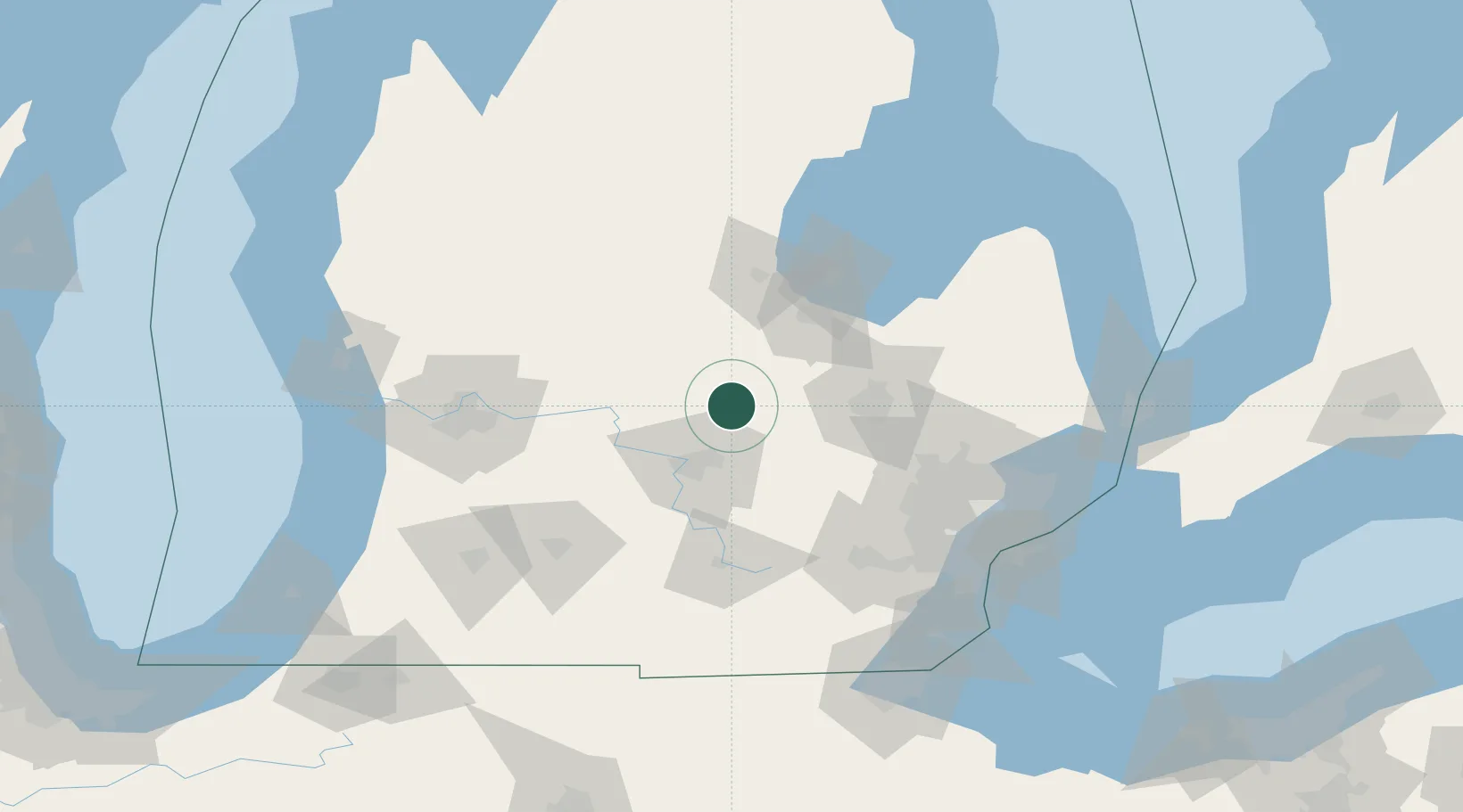
Nearby Logistics Neighbours

Cities
  1. 1Oakley22 km
  2. 2Perry24 km
  3. 3East Lansing31 km
  4. 4Okemos32 km
  5. 5Durand33 km
Nearest neighbours — logibook spatial index (haversine) over the source coordinates
Ports
  1. 1Saginaw60 km
  2. 2Bay City78 km
  3. 3Detroit132 km
  4. 4Windsor133 km
  5. 5Wyandotte134 km
Nearest neighbours — logibook spatial index (haversine) over the source coordinates
Airports
  1. 1Capital Region International Airport31 km
  2. 2Bishop International Airport51 km
  3. 3MBS International Airport64 km
  4. 4Jackson County Airport/Reynolds Field83 km
  5. 5Oakland County International Airport86 km
Nearest neighbours — logibook spatial index (haversine) over the source coordinates
Trade Zones
  1. 1FTZ No. 101 Clinton County31 km
  2. 2FTZ No. 284 Genesee County32 km
  3. 3FTZ No. 140 Flint49 km
  4. 4FTZ No. 043 Battle Creek105 km
  5. 5FTZ No. 070 Detroit117 km
Nearest neighbours — logibook spatial index (haversine) over the source coordinates
DatabookThe Record of Consolidated Knowledge
United States beyond logistics?
Browse databook

All Sources

LocationsUN/LOCODE
UN/LOCODE — free
LocationsGeoNames
CC BY 4.0
Portsthe NGA World Port Index
Public domain (US gov)
AirportsOurAirports
Public domain
Trade Zonesthe World Bank SEZ database
CC BY 4.0
Trade ZonesOpen Zone Map
CC BY
← United States locations