Transport Functions
Road
Multimodal
Hub Profile
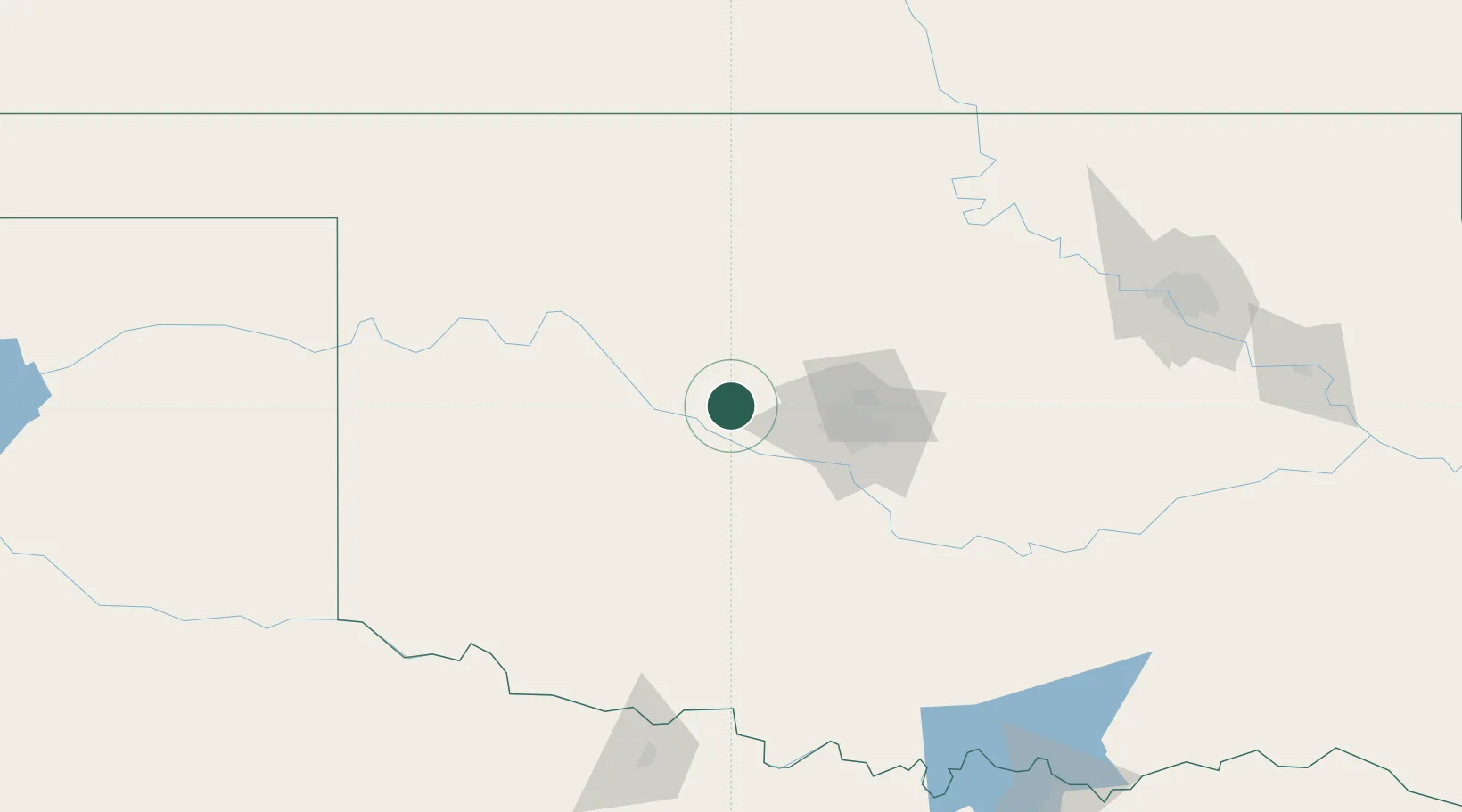
Place type
Populated place
Region
Oklahoma
Population
564
Time zone
America/Chicago
Elevation
421 m
Location
Nearby Logistics Neighbours
Airports
- 1OKC Will Rogers World Airport52 km
- 2Tinker Air Force Base69 km
- 3Vance Air Force Base84 km
- 4Hobart Regional Airport109 km
- 5Henry Post Army Air Field109 km
Trade Zones
- 1FTZ No. 106 Oklahoma City56 km
- 2FTZ No. 053 Rogers County220 km
- 3FTZ No. 161 Sedgwick County235 km
- 4FTZ No. 227 Durant237 km
- 5FTZ No. 164 Muskogee242 km
DatabookThe Record of Consolidated Knowledge
United States beyond logistics?