Transport Functions
Multimodal
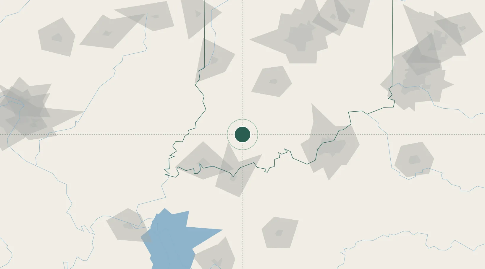
Hub Profile
Place type
Populated place
Region
Indiana
Time zone
America/Indiana/Vincennes
Elevation
144 m
Location
Nearby Logistics Neighbours
Cities
- 1Saint Anthony18 km
- 2Loogootee30 km
- 3Saint Meinrad31 km
- 4Santa Claus32 km
- 5Oakland City33 km
Ports
- 1Gary359 km
- 2Indiana Harbor365 km
- 3Michigan City371 km
- 4Calumet Harbor373 km
- 5Chicago391 km
Airports
Trade Zones
- 1FTZ No. 177 Evansville71 km
- 2FTZ No. 029 Louisville104 km
- 3FTZ No. 072 Indianapolis158 km
- 4FTZ No. 047 Boone County192 km
- 5FTZ No. 294 Western Kentucky204 km
DatabookThe Record of Consolidated Knowledge
United States beyond logistics?