Medium airport · United States

Owensboro Daviess County AirportKOWB
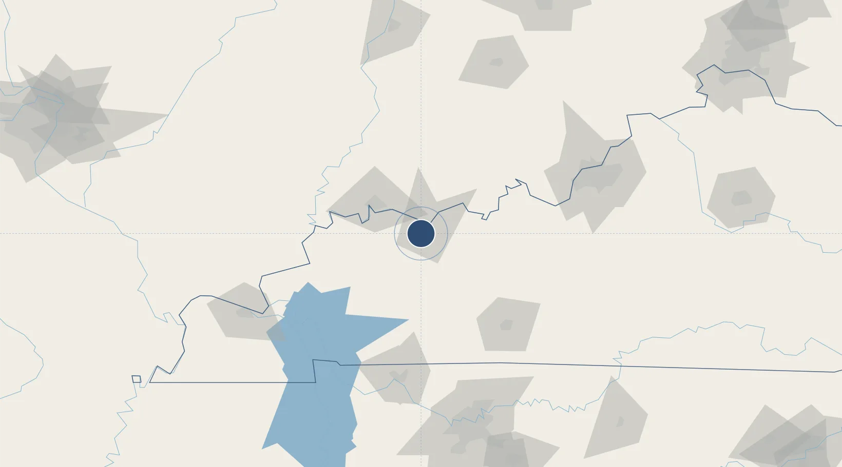
37.7401°, -87.1668°
8,000 ft
Longest runway
2
Runways
407 ft
Elevation

Runway & Layout

Owensboro Daviess County Airport runway & taxiway layout
Runway & taxiway layout — OpenStreetMap (ODbL) / OurAirports

Radio Frequencies

TWR
120.7 MHz
GND
121.7 MHz
CTAF
120.7 MHz
A/D
126.4 MHz
EVANSVILLE APP/DEP
RDO
108.6 MHz
LOUISVILLE RDO
UNIC
122.95 MHz
UNICOM
OurAirports

Navaids

OW NDB Higuy 341 kHz
OWB VOR-DME Owensboro 108.60 MHz
OurAirports

Runways · 2

RunwayDimensions SurfaceTrue headingLit
18/36 8,000 × 150ft concrete/grooved 178°
06/24 5,000 × 100ft Asphalt 052°
OurAirports

Airport Specifications

IATA code
OWB
OurAirports
ICAO code
KOWB
OurAirports
Airport class
Medium airport
OurAirports
Scheduled service
Yes
OurAirports
Runway surface
concrete/grooved
OurAirports
Served city
Owensboro
OurAirports

Location

Location of KOWB
Natural Earth 10m (public domain) · Kentucky · KOWB · 37.74, -87.17GoogleOSMYandex

Nearby Logistics Neighbours

Airports
  1. 1Evansville Regional Airport46 km
  2. 2Godman Army Air Field107 km
  3. 3Bowling Green Warren County Regional Airport109 km
  4. 4Campbell Army Airfield (Fort Campbell)122 km
  5. 5Louisville Muhammad Ali International Airport134 km
Nearest neighbours — logibook spatial index (haversine) over the source coordinates
Cities
  1. 1Philpot16 km
  2. 2Maceo20 km
  3. 3Grandview27 km
  4. 4Lewisport32 km
  5. 5Robards34 km
Nearest neighbours — logibook spatial index (haversine) over the source coordinates
Ports
  1. 1Port Of Memphis401 km
  2. 2Gary431 km
  3. 3Indiana Harbor437 km
  4. 4Michigan City445 km
  5. 5Calumet Harbor445 km
Nearest neighbours — logibook spatial index (haversine) over the source coordinates
Trade Zones
  1. 1FTZ No. 177 Evansville49 km
  2. 2FTZ No. 029 Louisville133 km
  3. 3FTZ No. 294 Western Kentucky146 km
  4. 4FTZ No. 078 Nashville173 km
  5. 5FTZ No. 072 Indianapolis233 km
Nearest neighbours — logibook spatial index (haversine) over the source coordinates
DatabookThe Record of Consolidated Knowledge
United States beyond logistics?
Browse databook

All Sources

AirportsOurAirports
Public domain
Portsthe NGA World Port Index
Public domain (US gov)
LocationsUN/LOCODE
UN/LOCODE — free
Trade Zonesthe World Bank SEZ database
CC BY 4.0
Trade ZonesOpen Zone Map
CC BY
InfrastructureOpenStreetMap
ODbL 1.0
← United States airports