Foreign Trade Zone · United States

FTZ No. 294 Western Kentucky Active

37.0681°, -88.5817°
264.2 km
Nearest port
17.1 km
Nearest airport

Gateway access

Nearest neighbours — logibook spatial index (haversine) over the source coordinates

Zone profile

Zone type
Foreign Trade Zone
Open Zone Map
Region
Kentucky
Open Zone Map
Status
Active
Open Zone Map
Management
Public
Open Zone Map
Operator
Paducah McCracken County Riverport Authority
Open Zone Map
Legal framework
Foreign-Trade Zones Act
Open Zone Map

Location

Location of ozm-4860
Natural Earth 10m (public domain) · Kentucky · ozm-4860 · 37.07, -88.58GoogleOSMYandex

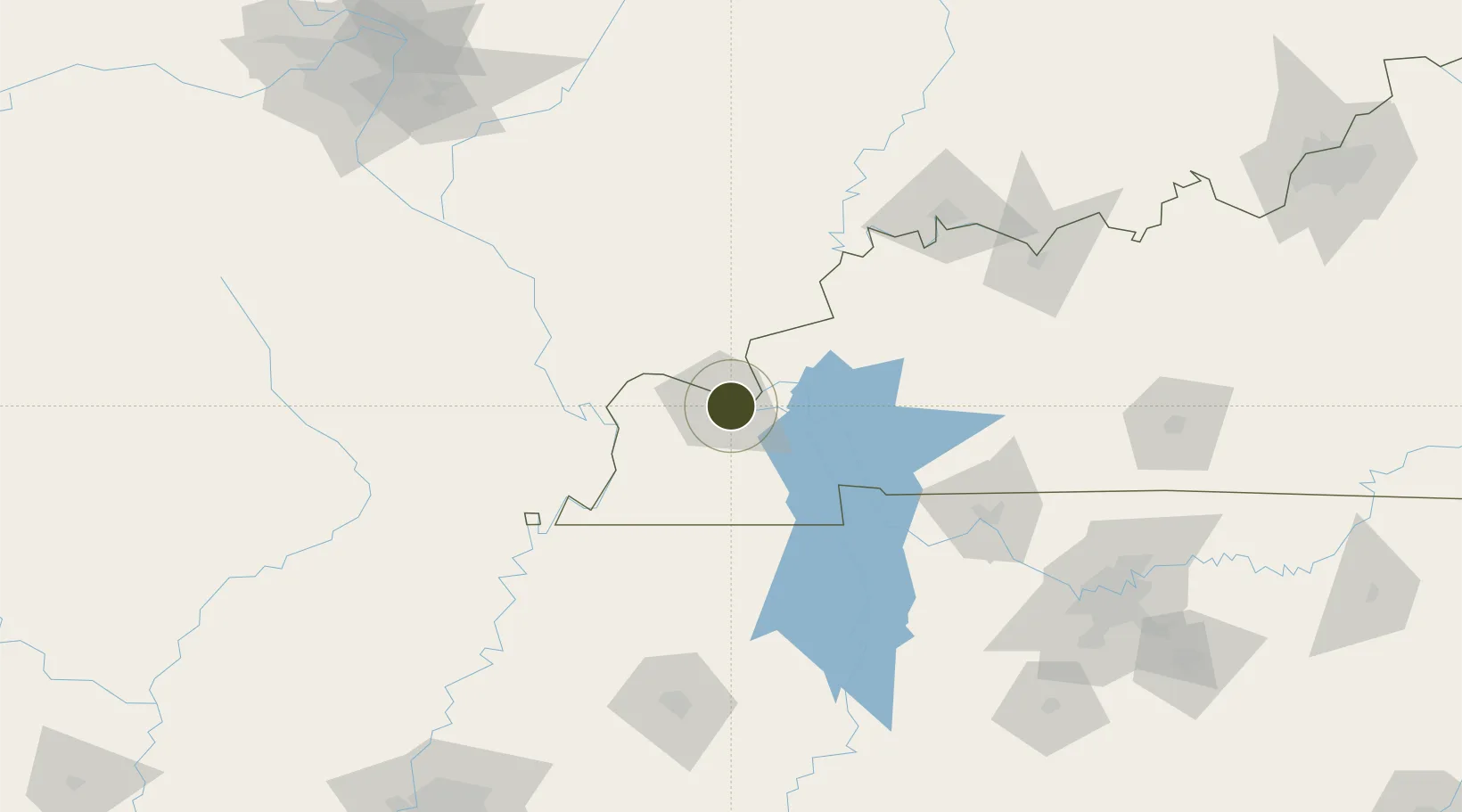
Nearby Logistics Neighbours

Ports
  1. 1Port Of Memphis264 km
  2. 2Gary517 km
  3. 3Indiana Harbor521 km
  4. 4Calumet Harbor527 km
  5. 5Michigan City539 km
Nearest neighbours — logibook spatial index (haversine) over the source coordinates
Airports
  1. 1Barkley Regional Airport17 km
  2. 2Veterans Airport of Southern Illinois85 km
  3. 3Cape Girardeau Regional Airport89 km
  4. 4Southern Illinois Airport99 km
  5. 5Campbell Army Airfield (Fort Campbell)107 km
Nearest neighbours — logibook spatial index (haversine) over the source coordinates
Cities
  1. 1Paducah2 km
  2. 2Symsonia18 km
  3. 3Calvert City20 km
  4. 4Kansas23 km
  5. 5Joppa28 km
Nearest neighbours — logibook spatial index (haversine) over the source coordinates
Trade Zones
  1. 1FTZ No. 177 Evansville134 km
  2. 2FTZ No. 078 Nashville167 km
  3. 3FTZ No. 283 West Tennessee176 km
  4. 4FTZ No. 031 Granite City234 km
  5. 5FTZ No. 223 Memphis256 km
Nearest neighbours — logibook spatial index (haversine) over the source coordinates
DatabookThe Record of Consolidated Knowledge
United States beyond logistics?
Browse databook

All Sources

Trade ZonesOpen Zone Map
CC BY
Portsthe NGA World Port Index
Public domain (US gov)
AirportsOurAirports
Public domain
LocationsUN/LOCODE
UN/LOCODE — free
← United States trade zones