UN/LOCODE hub · United States
USLT3
Loogootee
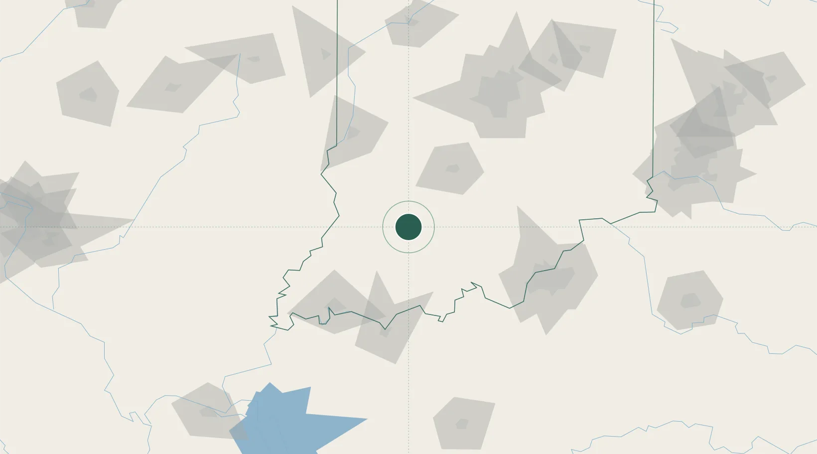
38.6667°, -86.9167°
2,722
Population
2
Transport functions
Transport Functions
Rail
Road
Hub Profile
Place type
Populated place
Region
Indiana
Population
2,722
Time zone
America/Indiana/Vincennes
Elevation
164 m
Location
Nearby Logistics Neighbours
Cities
- 1Shoals12 km
- 2Ireland30 km
- 3Paoli41 km
- 4Saint Anthony42 km
- 5Oakland City53 km
Ports
- 1Gary330 km
- 2Indiana Harbor337 km
- 3Michigan City341 km
- 4Calumet Harbor345 km
- 5Chicago362 km
Airports
Trade Zones
- 1FTZ No. 177 Evansville96 km
- 2FTZ No. 029 Louisville107 km
- 3FTZ No. 072 Indianapolis128 km
- 4FTZ No. 047 Boone County179 km
- 5FTZ No. 046 CIncinnati214 km
DatabookThe Record of Consolidated Knowledge
United States beyond logistics?