Medium airport · United States
Evansville Regional AirportKEVV
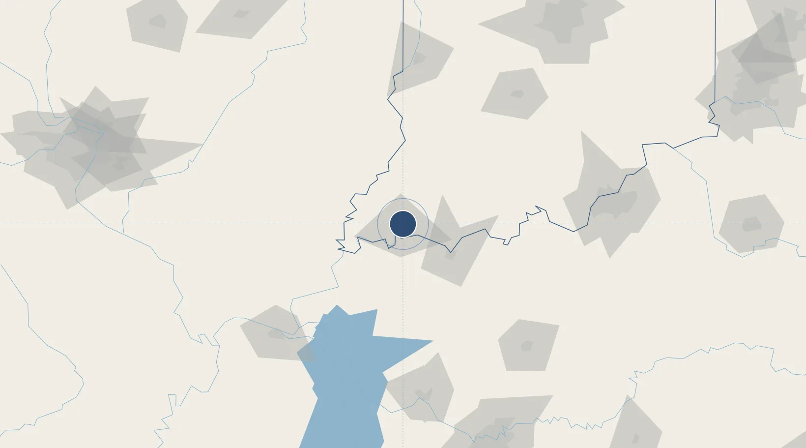
38.0370°, -87.5324°
8,021 ft
Longest runway
3
Runways
418 ft
Elevation
Runway & Layout

Radio Frequencies
ATIS
120.2 MHz
TWR
118.7 MHz
GND
121.9 MHz
CLD
126.6 MHz
CLNC DEL
APP
124.025 MHz
041-219°
APP
127.35 MHz
220-040°
CTAF
118.7 MHz
CTR
128.3 MHz
INDIANAPOLIS CENTER
RDO
122.65 MHz
TERRE HAUTE RDO
UNIC
122.95 MHz
UNICOM
Navaids
EV NDB Vicci 219 kHz
PXV VORTAC Pocket City 113.30 MHz
Runways · 3
| Runway | Dimensions | Surface | True heading | Lit |
|---|---|---|---|---|
| 04/22 | 8,021 × 150ft | Asphalt | 038° | ✓ |
| 18/36 | 6,286 × 150ft | Asphalt | 181° | ✓ |
| 09/27 | 3,497 × 75ft | Asphalt | 091° | ✓ |
Airport Specifications
IATA code
EVV
ICAO code
KEVV
Airport class
Medium airport
Scheduled service
Yes
Runway surface
Asphalt
Served city
Evansville
Location
Nearby Logistics Neighbours
Airports
Cities
- 1Evansville5 km
- 2Wadesville23 km
- 3Fort Branch24 km
- 4Owensville29 km
- 5Oakland City37 km
Ports
- 1Gary398 km
- 2Indiana Harbor404 km
- 3Port Of Memphis406 km
- 4Calumet Harbor411 km
- 5Michigan City415 km
Trade Zones
- 1FTZ No. 177 Evansville9 km
- 2FTZ No. 294 Western Kentucky142 km
- 3FTZ No. 029 Louisville154 km
- 4FTZ No. 078 Nashville210 km
- 5FTZ No. 072 Indianapolis215 km
DatabookThe Record of Consolidated Knowledge
United States beyond logistics?