UN/LOCODE hub · United States
USZOC
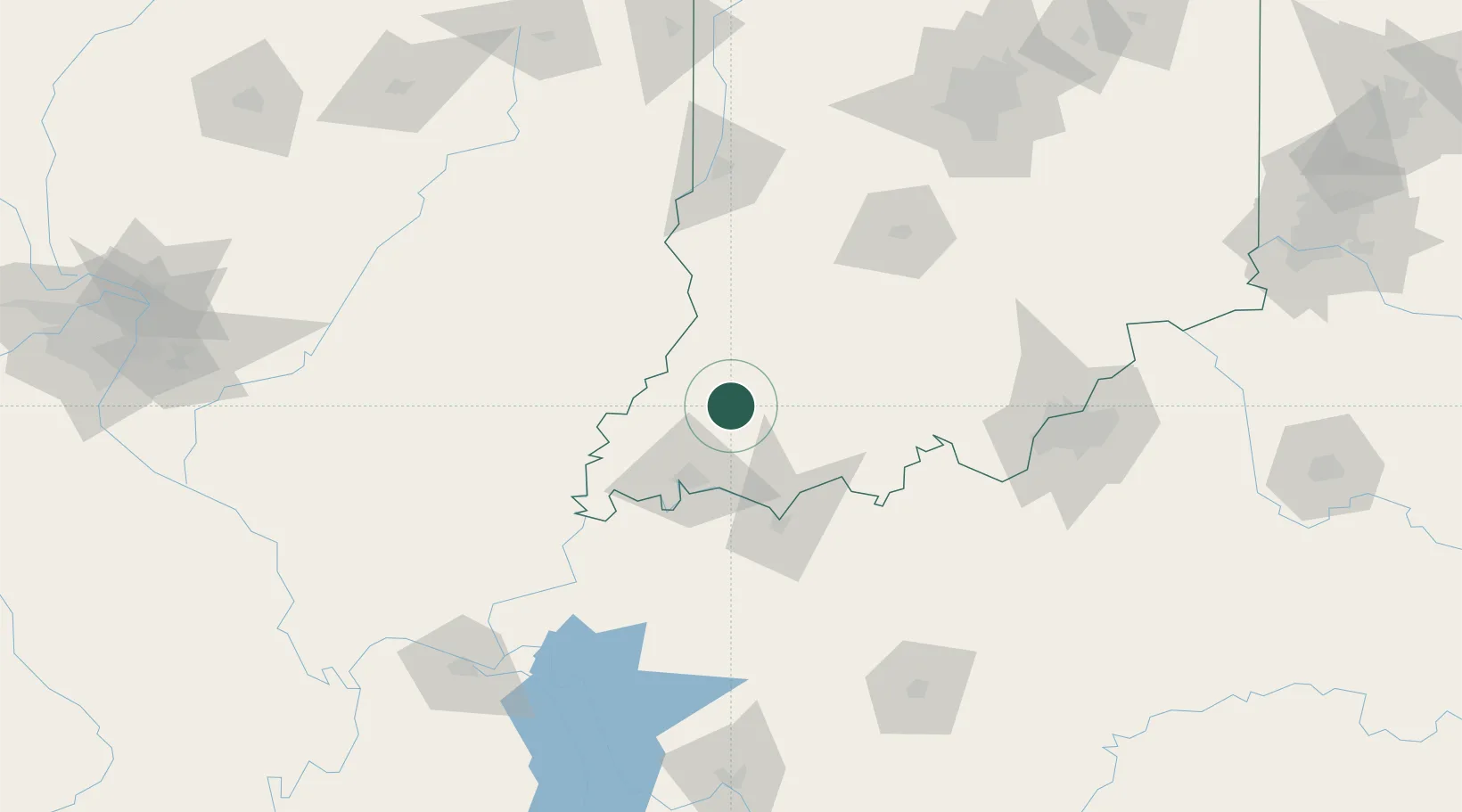
Oakland City
38.3333°, -87.3500°
2,430
Population
2
Transport functions
Transport Functions
Rail
Road
Hub Profile
Place type
Populated place
Region
Indiana
Population
2,430
Time zone
America/Chicago
Elevation
141 m
Location
Nearby Logistics Neighbours
Cities
- 1Fort Branch21 km
- 2Owensville30 km
- 3Ireland33 km
- 4Mount Carmel38 km
- 5Evansville41 km
Ports
- 1Gary365 km
- 2Indiana Harbor371 km
- 3Calumet Harbor378 km
- 4Michigan City380 km
- 5Chicago395 km
Airports
Trade Zones
- 1FTZ No. 177 Evansville44 km
- 2FTZ No. 029 Louisville136 km
- 3FTZ No. 294 Western Kentucky178 km
- 4FTZ No. 072 Indianapolis179 km
- 5FTZ No. 245 Decatur225 km
DatabookThe Record of Consolidated Knowledge
United States beyond logistics?