Medium airport · United States
Monroe County AirportKBMG
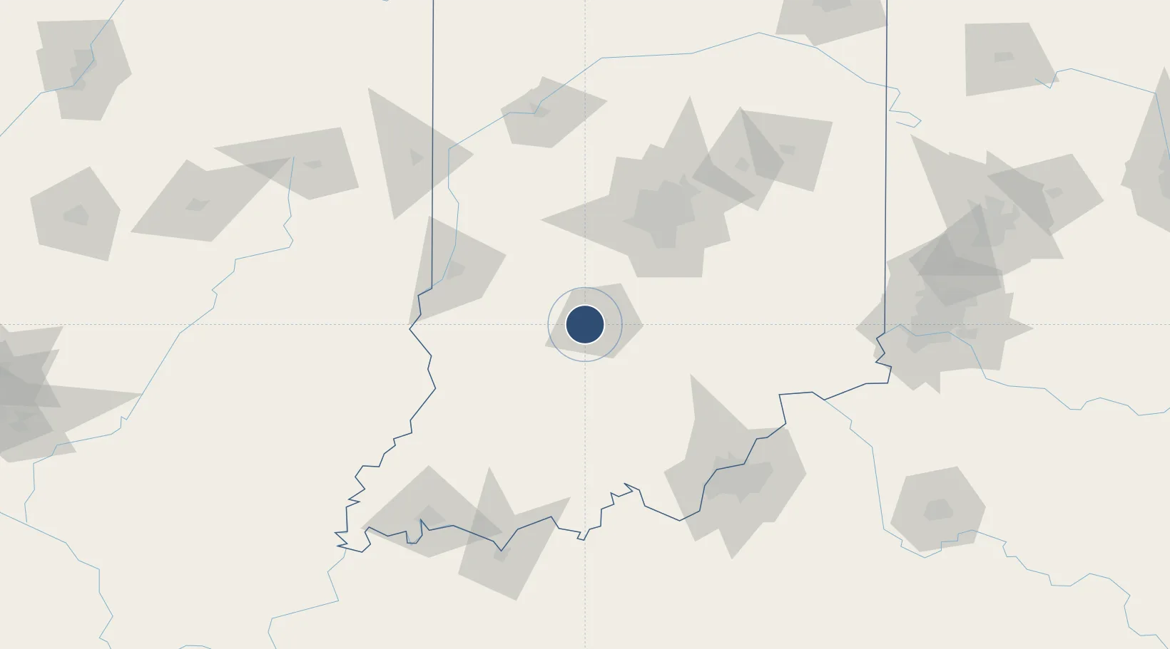
39.1460°, -86.6167°
6,500 ft
Longest runway
2
Runways
846 ft
Elevation
Runway & Layout

Radio Frequencies
ASOS
110.2 MHz
TWR
120.775 MHz
BLOOMINGTON TWR
GND
121.9 MHz
CTAF
120.775 MHz
A/D
128.025 MHz
HULMAN APP/DEP
RDO
110.2 MHz
TERRE HAUTE RDO
UNIC
122.95 MHz
UNICOM
Navaids
BM NDB Claye 382 kHz
OOM VORTAC Hoosier 110.20 MHz
Runways · 2
| Runway | Dimensions | Surface | True heading | Lit |
|---|---|---|---|---|
| 17/35 | 6,500 × 150ft | Asphalt | 171° | ✓ |
| 06/24 | 3,798 × 100ft | Asphalt | 062° | ✓ |
Airport Specifications
IATA code
BMG
ICAO code
KBMG
Airport class
Medium airport
Scheduled service
No
Runway surface
Asphalt
Served city
Bloomington
Location
Nearby Logistics Neighbours
Airports
Cities
- 1Ellettsville10 km
- 2Spencer19 km
- 3Gosport23 km
- 4Paragon29 km
- 5Norman37 km
Ports
- 1Gary281 km
- 2Indiana Harbor289 km
- 3Michigan City289 km
- 4Calumet Harbor298 km
- 5Chicago316 km
Trade Zones
- 1FTZ No. 072 Indianapolis69 km
- 2FTZ No. 029 Louisville121 km
- 3FTZ No. 047 Boone County151 km
- 4FTZ No. 177 Evansville155 km
- 5FTZ No. 046 CIncinnati181 km
DatabookThe Record of Consolidated Knowledge
United States beyond logistics?