UN/LOCODE hub · United States
USRAD
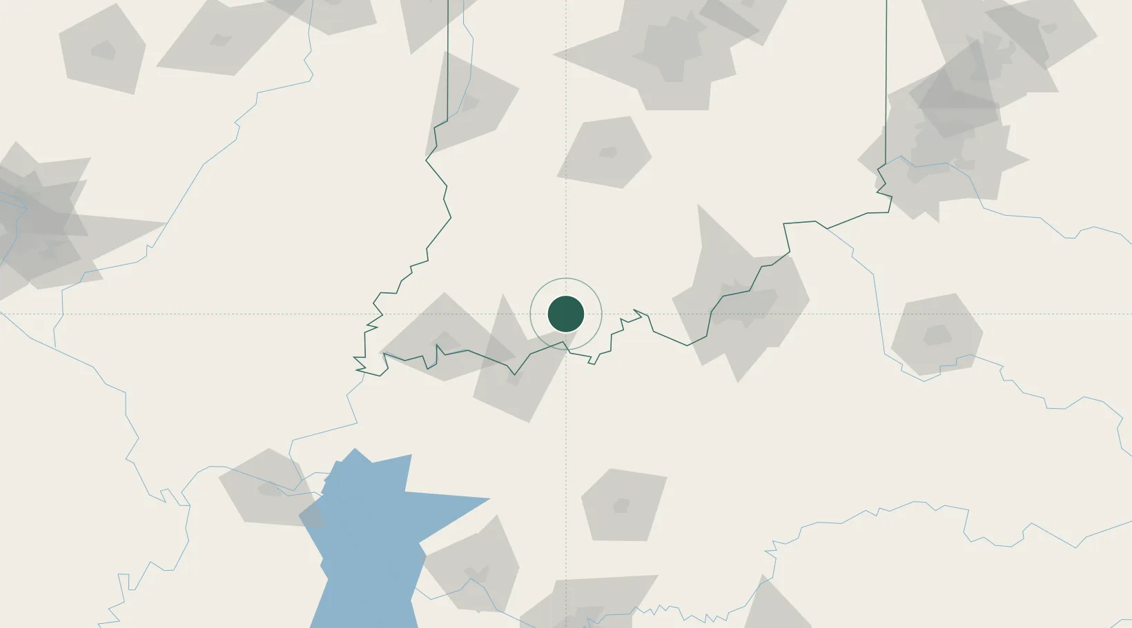
Saint Meinrad
38.1667°, -86.8000°
706
Population
2
Transport functions
Transport Functions
Road
Multimodal
Hub Profile
Place type
Populated place
Region
Indiana
Population
706
Time zone
America/Chicago
Elevation
135 m
Location
Nearby Logistics Neighbours
Cities
- 1Fulda6 km
- 2Santa Claus12 km
- 3Saint Anthony15 km
- 4Troy19 km
- 5Lewisport27 km
Ports
- 1Gary386 km
- 2Indiana Harbor393 km
- 3Michigan City397 km
- 4Calumet Harbor401 km
- 5Chicago419 km
Airports
Trade Zones
- 1FTZ No. 177 Evansville74 km
- 2FTZ No. 029 Louisville88 km
- 3FTZ No. 072 Indianapolis178 km
- 4FTZ No. 047 Boone County188 km
- 5FTZ No. 294 Western Kentucky199 km
DatabookThe Record of Consolidated Knowledge
United States beyond logistics?