UN/LOCODE hub · United States
USSC6
Santa Claus
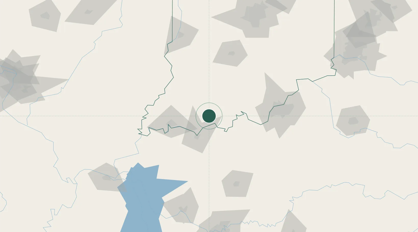
38.1167°, -86.9167°
2,474
Population
2
Transport functions
Transport Functions
Road
Multimodal
Hub Profile
Place type
Populated place
Region
Indiana
Population
2,474
Time zone
America/Chicago
Elevation
144 m
Location
Nearby Logistics Neighbours
Cities
- 1Fulda7 km
- 2Saint Meinrad12 km
- 3Troy17 km
- 4Lewisport20 km
- 5Grandview21 km
Ports
- 1Gary391 km
- 2Indiana Harbor397 km
- 3Michigan City402 km
- 4Calumet Harbor405 km
- 5Chicago423 km
Airports
Trade Zones
- 1FTZ No. 177 Evansville63 km
- 2FTZ No. 029 Louisville99 km
- 3FTZ No. 072 Indianapolis186 km
- 4FTZ No. 294 Western Kentucky187 km
- 5FTZ No. 047 Boone County200 km
DatabookThe Record of Consolidated Knowledge
United States beyond logistics?