Transport Functions
Rail
Road
Multimodal
Hub Profile
Place type
Populated place
Region
Indiana
Time zone
America/Indiana/Vincennes
Elevation
166 m
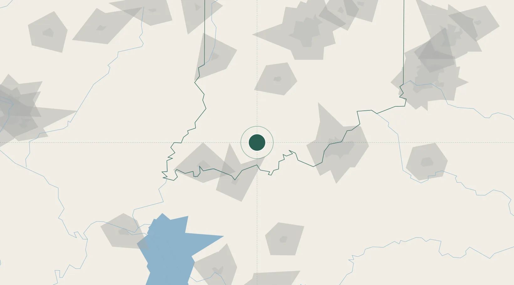
Location
Nearby Logistics Neighbours
Cities
- 1Saint Meinrad15 km
- 2Ireland18 km
- 3Fulda20 km
- 4Santa Claus22 km
- 5English31 km
Ports
- 1Gary371 km
- 2Indiana Harbor378 km
- 3Michigan City382 km
- 4Calumet Harbor386 km
- 5Chicago404 km
Airports
Trade Zones
- 1FTZ No. 177 Evansville78 km
- 2FTZ No. 029 Louisville89 km
- 3FTZ No. 072 Indianapolis164 km
- 4FTZ No. 047 Boone County183 km
- 5FTZ No. 294 Western Kentucky207 km
DatabookThe Record of Consolidated Knowledge
United States beyond logistics?