UN/LOCODE hub · United States
USZFU
Willington
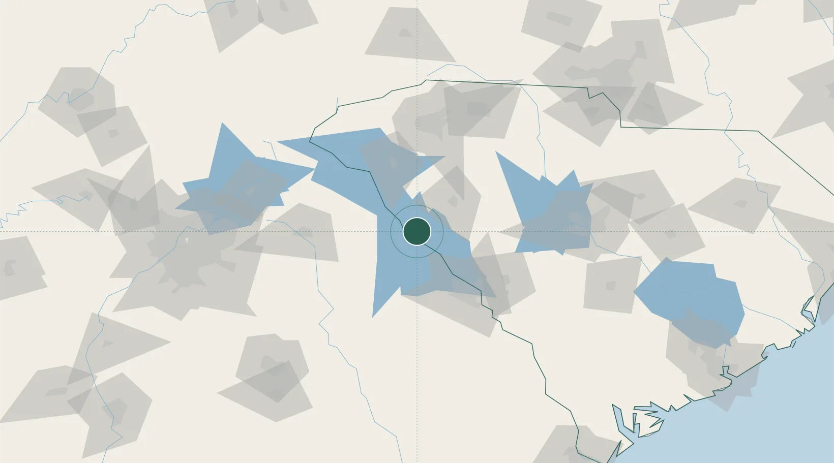
33.9667°, -82.4667°
142
Population
1
Transport functions
Transport Functions
Multimodal
Hub Profile
Place type
Populated place
Region
South Carolina
Population
142
Time zone
America/New_York
Elevation
148 m
Location
Nearby Logistics Neighbours
Cities
- 1Calhoun Falls17 km
- 2McCormick19 km
- 3Tignall27 km
- 4Washington36 km
- 5Hodges41 km
Ports
- 1Beaufort239 km
- 2Port Royal243 km
- 3Savannah246 km
- 4Charleston271 km
- 5Georgetown302 km
Airports
- 1Anderson Regional Airport63 km
- 2Daniel Field68 km
- 3Athens Ben Epps Airport79 km
- 4Augusta Regional At Bush Field81 km
- 5Greenville Downtown Airport99 km
Trade Zones
- 1FTZ No. 038 Spartanburg County104 km
- 2FTZ No. 127 West Columbia123 km
- 3FTZ No. 026 Atlanta179 km
- 4FTZ No. 021 Dorchester County190 km
- 5FTZ No. 057 Mecklenburg County191 km
DatabookThe Record of Consolidated Knowledge
United States beyond logistics?