Medium airport · United States

Greenville Downtown AirportKGMU
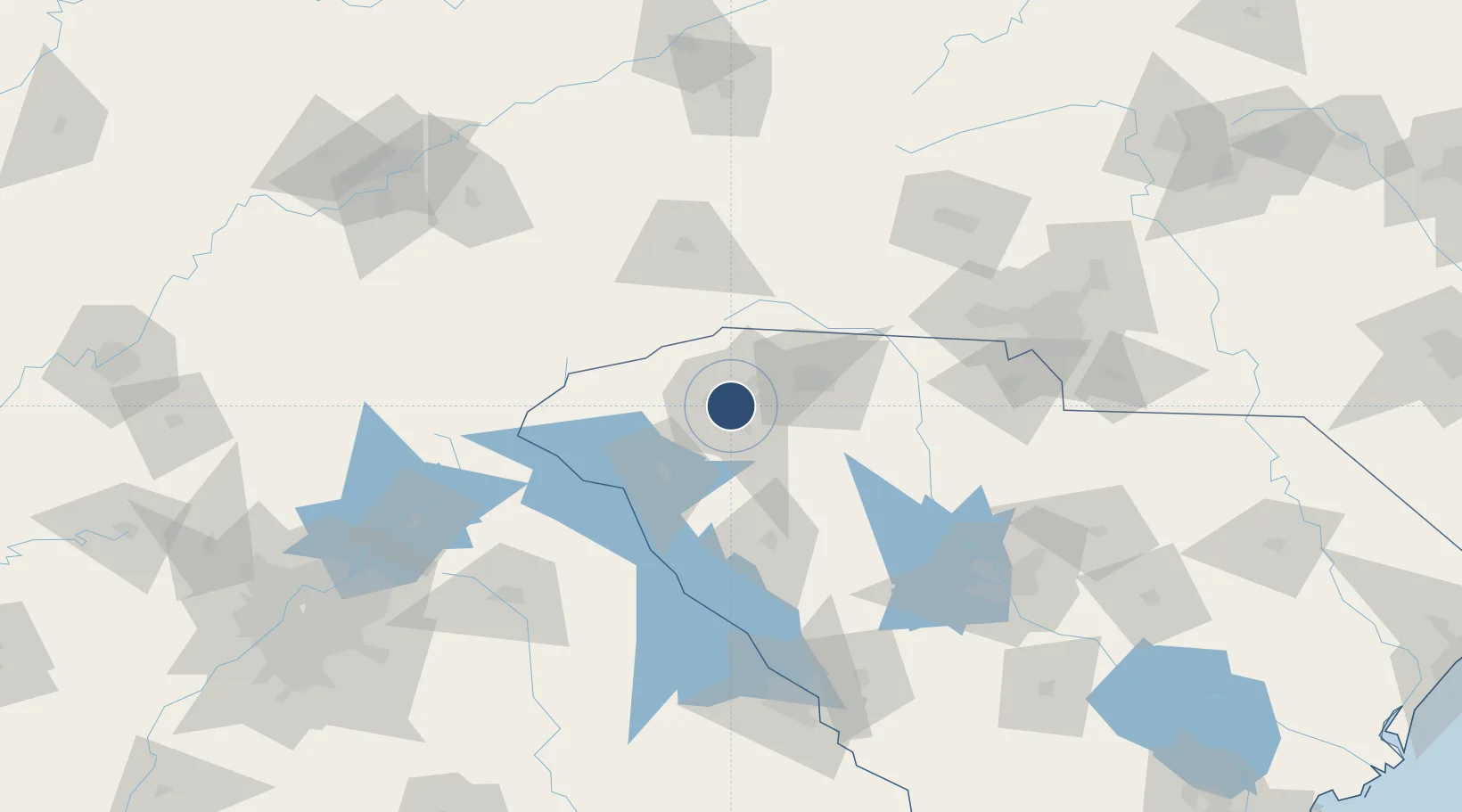
34.8479°, -82.3502°
5,393 ft
Longest runway
2
Runways
1,048 ft
Elevation

Runway & Layout

Greenville Downtown Airport runway & taxiway layout
Runway & taxiway layout — OpenStreetMap (ODbL) / OurAirports

Radio Frequencies

ASOS
127.075 MHz
TWR
119.9 MHz
GND
121.25 MHz
CTAF
119.9 MHz
A/D
118.8 MHz
GREER APP/DEP
UNIC
122.95 MHz
UNICOM
OurAirports

Runways · 2

RunwayDimensions SurfaceTrue headingLit
01/19 5,393 × 100ft Asphalt 005°
10/28 4,000 × 80ft Asphalt 092°
OurAirports

Airport Specifications

IATA code
GMU
OurAirports
ICAO code
KGMU
OurAirports
Airport class
Medium airport
OurAirports
Scheduled service
No
OurAirports
Runway surface
Asphalt
OurAirports
Served city
Greenville
OurAirports

Location

Location of KGMU
Natural Earth 10m (public domain) · South Carolina · KGMU · 34.85, -82.35GoogleOSMYandex

Nearby Logistics Neighbours

Airports
  1. 1Greenville-Spartanburg International Airport13 km
  2. 2Anderson Regional Airport51 km
  3. 3Asheville Regional Airport68 km
  4. 4Hickory Regional Airport132 km
  5. 5Athens Ben Epps Airport134 km
Nearest neighbours — logibook spatial index (haversine) over the source coordinates
Cities
  1. 1Conestee13 km
  2. 2Greenville13 km
  3. 3Greenville-Greer Apt19 km
  4. 4Slater22 km
  5. 5Marietta23 km
Nearest neighbours — logibook spatial index (haversine) over the source coordinates
Ports
  1. 1Beaufort310 km
  2. 2Port Royal316 km
  3. 3Charleston321 km
  4. 4Georgetown327 km
  5. 5Savannah329 km
Nearest neighbours — logibook spatial index (haversine) over the source coordinates
Trade Zones
  1. 1FTZ No. 038 Spartanburg County10 km
  2. 2FTZ No. 057 Mecklenburg County124 km
  3. 3FTZ No. 127 West Columbia147 km
  4. 4FTZ No. 204 Tri-Cities182 km
  5. 5FTZ No. 148 Knoxville212 km
Nearest neighbours — logibook spatial index (haversine) over the source coordinates
DatabookThe Record of Consolidated Knowledge
United States beyond logistics?
Browse databook

All Sources

AirportsOurAirports
Public domain
Portsthe NGA World Port Index
Public domain (US gov)
LocationsUN/LOCODE
UN/LOCODE — free
Trade Zonesthe World Bank SEZ database
CC BY 4.0
Trade ZonesOpen Zone Map
CC BY
InfrastructureOpenStreetMap
ODbL 1.0
← United States airports