UN/LOCODE hub · United States
USWAB
Washington
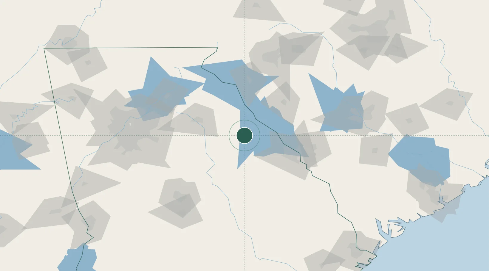
33.7333°, -82.7333°
3,981
Population
3
Transport functions
Transport Functions
Port
Rail
Road
Hub Profile
Place type
Provincial seat
Region
Georgia
Population
3,981
Time zone
America/New_York
Elevation
185 m
Location
Nearby Logistics Neighbours
Cities
- 1Tignall15 km
- 2Crawfordville25 km
- 3Willington36 km
- 4Warrenton38 km
- 5Calhoun Falls41 km
Ports
- 1Savannah240 km
- 2Beaufort241 km
- 3Port Royal244 km
- 4Charleston282 km
- 5Darien290 km
Airports
- 1Athens Ben Epps Airport60 km
- 2Daniel Field71 km
- 3Augusta Regional At Bush Field82 km
- 4Anderson Regional Airport85 km
- 5Greenville Downtown Airport129 km
Trade Zones
- 1FTZ No. 038 Spartanburg County136 km
- 2FTZ No. 127 West Columbia151 km
- 3FTZ No. 026 Atlanta153 km
- 4FTZ No. 021 Dorchester County201 km
- 5FTZ No. 057 Mecklenburg County227 km
DatabookThe Record of Consolidated Knowledge
United States beyond logistics?