UN/LOCODE hub · United States
USOIK
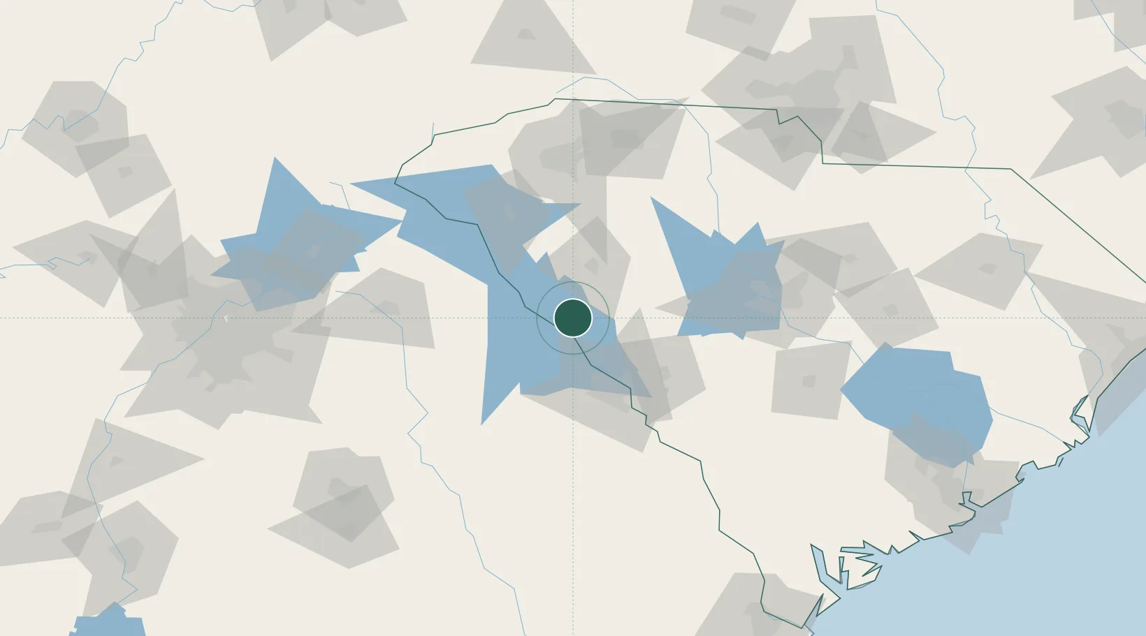
McCormick
33.9000°, -82.2833°
2,578
Population
2
Transport functions
Transport Functions
Rail
Road
Hub Profile
Place type
Provincial seat
Region
South Carolina
Population
2,578
Time zone
America/New_York
Elevation
163 m
Location
Nearby Logistics Neighbours
Cities
- 1Willington19 km
- 2Calhoun Falls34 km
- 3Tignall42 km
- 4Hodges43 km
- 5Washington46 km
Ports
- 1Beaufort222 km
- 2Port Royal226 km
- 3Savannah231 km
- 4Charleston253 km
- 5Georgetown284 km
Airports
- 1Daniel Field53 km
- 2Augusta Regional At Bush Field66 km
- 3Anderson Regional Airport77 km
- 4Athens Ben Epps Airport96 km
- 5Greenville Downtown Airport106 km
Trade Zones
- 1FTZ No. 127 West Columbia107 km
- 2FTZ No. 038 Spartanburg County110 km
- 3FTZ No. 021 Dorchester County172 km
- 4FTZ No. 057 Mecklenburg County187 km
- 5FTZ No. 026 Atlanta195 km
DatabookThe Record of Consolidated Knowledge
United States beyond logistics?